Motka
1635 MAP of CHINA JAPAN & KOREA antique ORIGINAL
1635 MAP of CHINA JAPAN & KOREA antique ORIGINAL
Regular price
$599.90 USD
Regular price
$857.00 USD
Sale price
$599.90 USD
Unit price
per
Couldn't load pickup availability
MAP of CHINA
China Veteribus Sinarum Regio nunc Incolis TAME dicta
(China, the region of the ancient Sinae, now called Tame by the inhabitants)
c. 1635
Decorative map of China, Japan and Korea and includes the north portion of the Philippines from Jansson's Novus Atlas)
The map depicts the eastern part of China (bounded in the west by the Great Wall), Korea as an island and the three main islands of Japan.
The imaginary "Chiamay Lacus" is located in the southern part of the map, with numerous rivers flowing south into India and Siam.
Striking cartouche flanked by Chinese figures and an ornate scale of miles.
Shows European ships and Chinese sampans.
Size : 17.5 by 21"
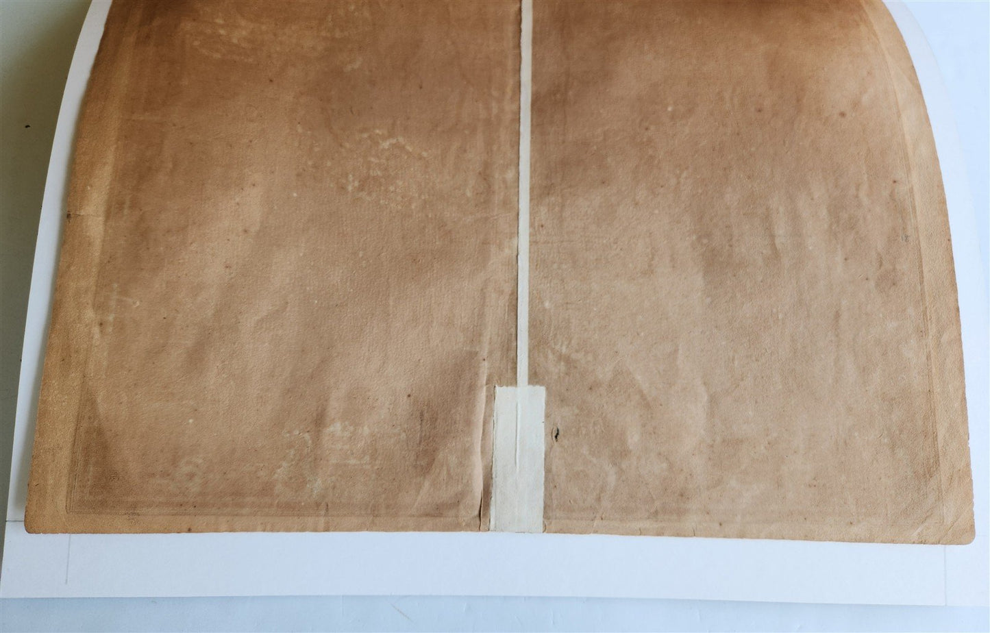
Very good condition, fold in the middle (reinforced on the backside)
==================================
Please see my other auctions
Thank You
Refund Policy: We will issue a FULL REFUND, 100% money back if you are not satisfied with your purchase. Items must be returned to us within 20 days in order to receive a refund or replacement. Buyer is responsible for shipping