Motka
1637 BRITAIN DESCRIPTION of England Scotland Ireland antique ILLUSTRATED 48 MAPS
1637 BRITAIN DESCRIPTION of England Scotland Ireland antique ILLUSTRATED 48 MAPS
Regular price
$1,799.00 USD
Regular price
$2,570.00 USD
Sale price
$1,799.00 USD
Unit price
per
Couldn't load pickup availability
Camden, William
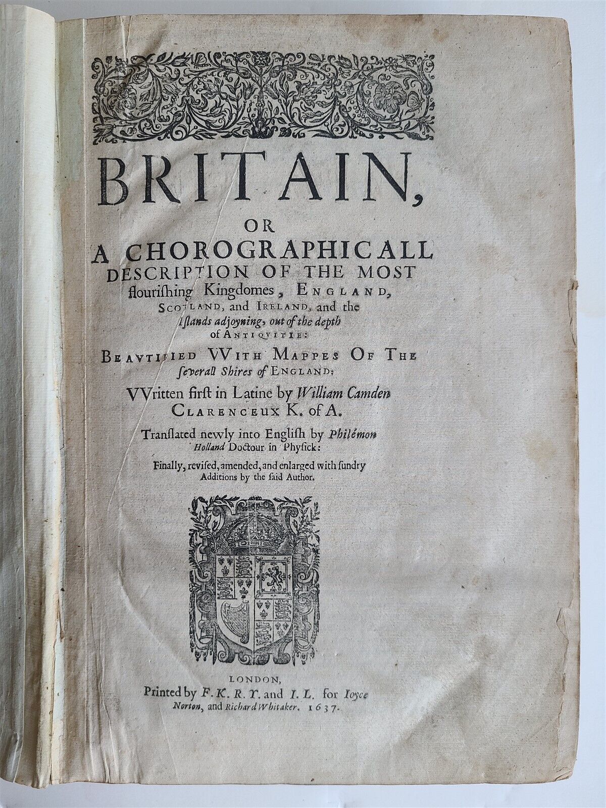
Britain, or A chorographicall description of the most flourishing kingdomes, England, Scotland, and Ireland, and the ilands adjoyning, out of the depth of antiquitie beautified vvith mappes of the severall shires of England: vvritten first in Latine by William Camden Clarenceux K. of A. Translated newly into English by Phile´mon Holland Doctour in Physick: finally, revised, amended, and enlarged with sundry additions by the said author.
London, Printed by F. K[ingston] R. Y[oung] and I. L[egatt] for Ioyce Norton, and Richard Whitaker; 1637
Second edition.
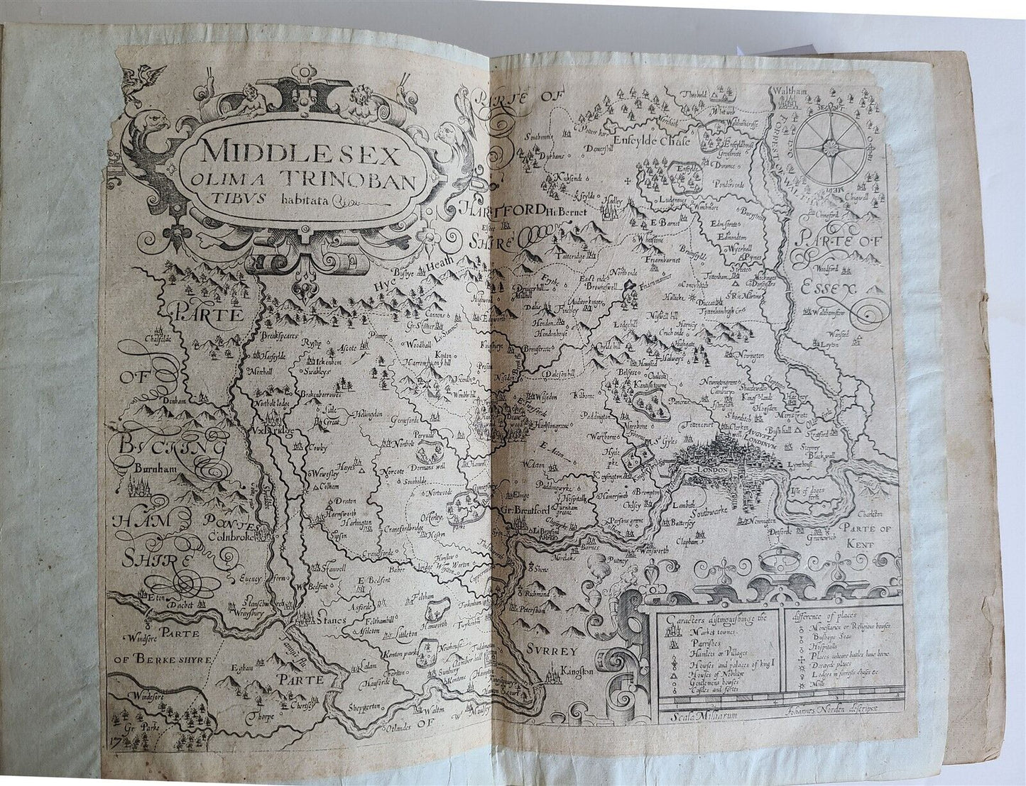
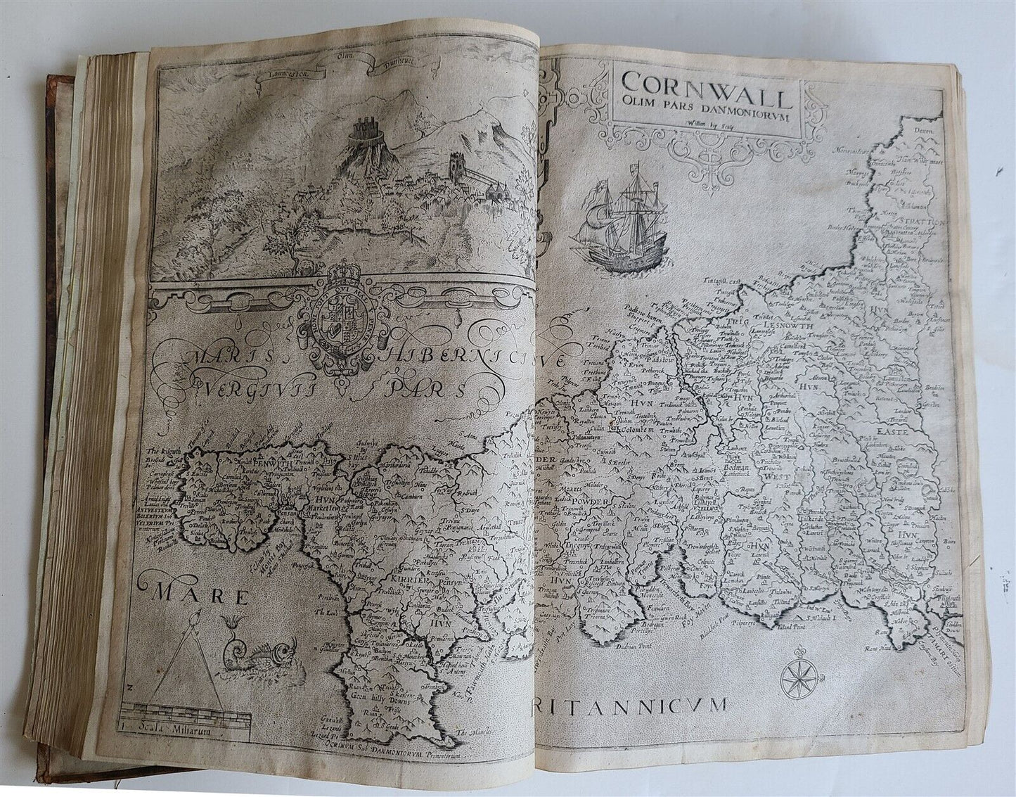
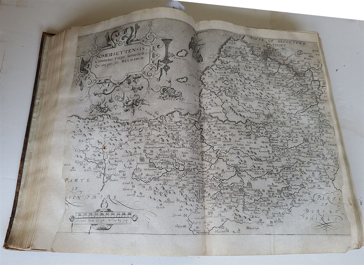
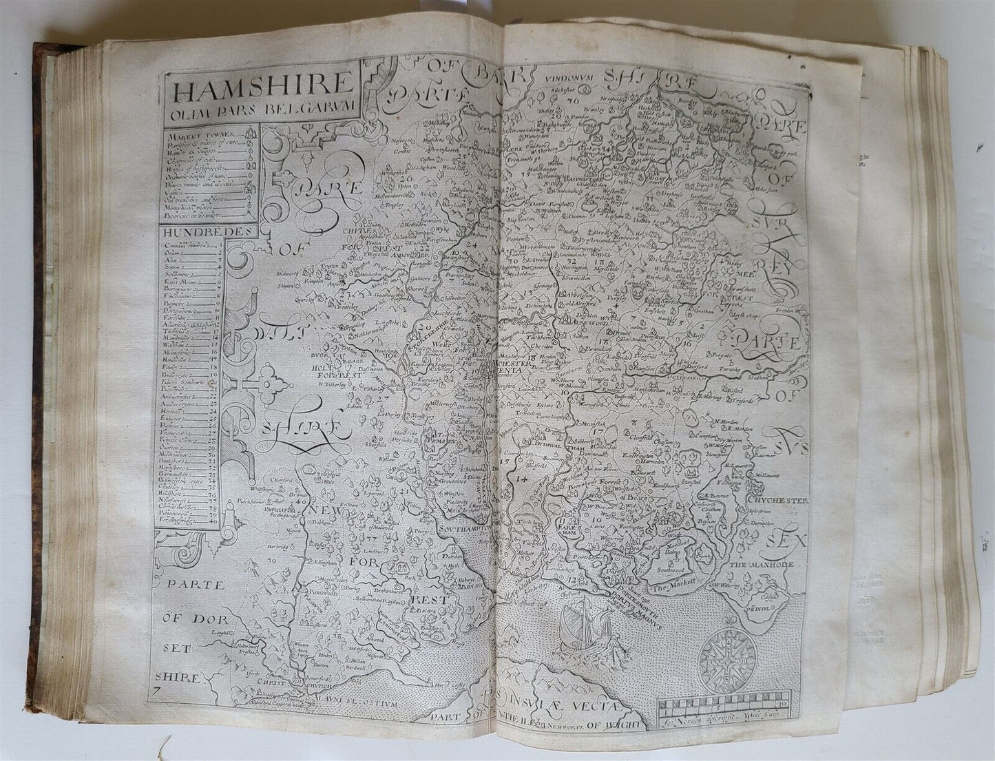
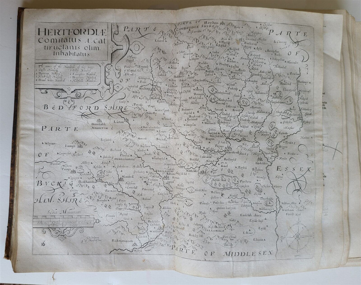
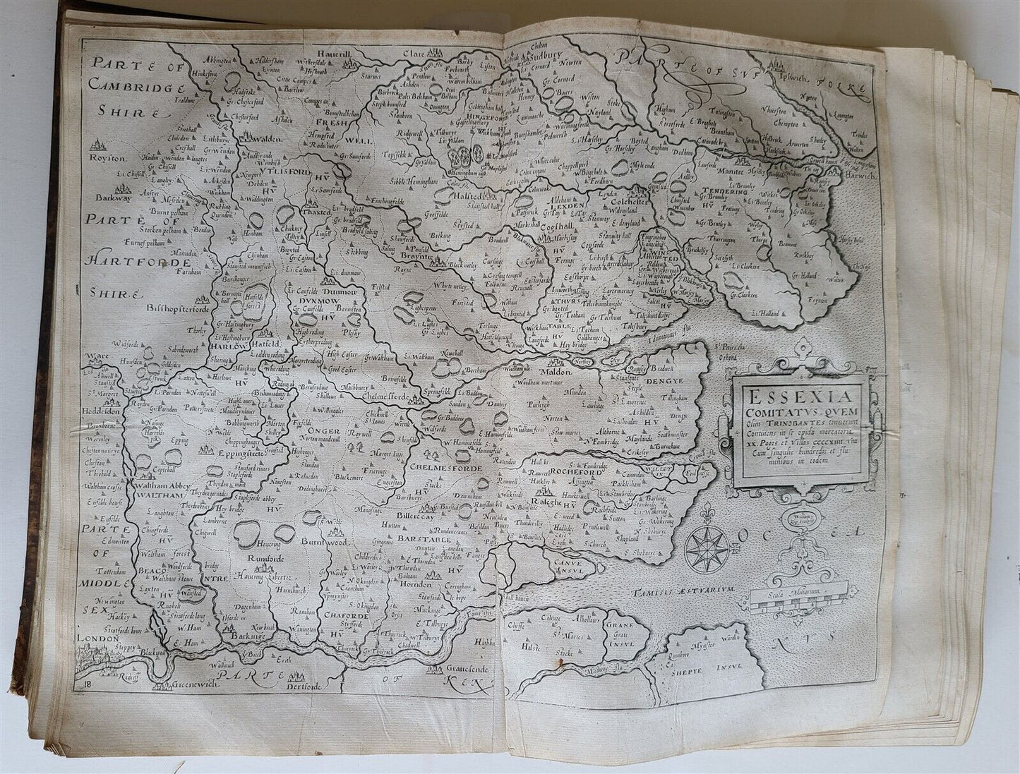
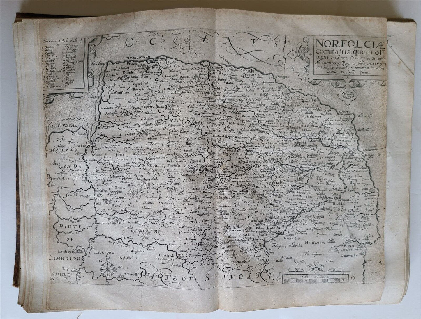
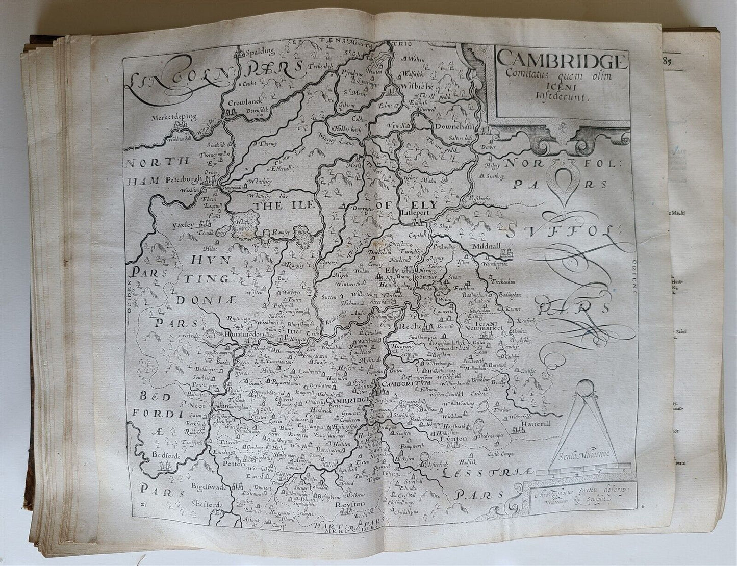
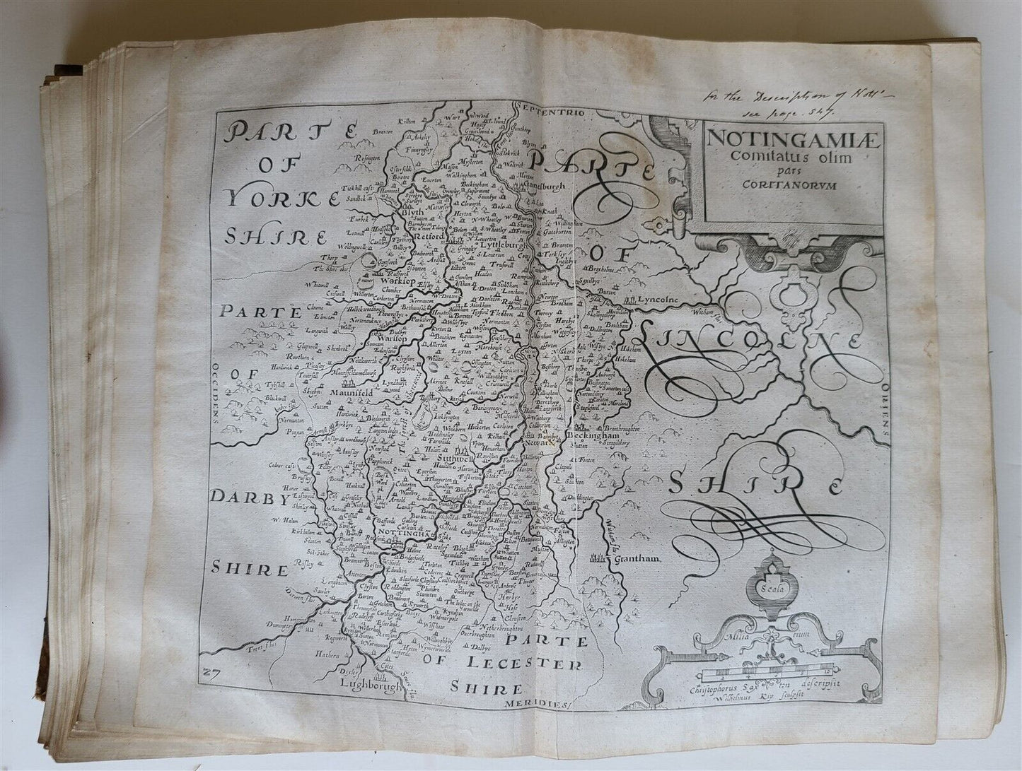
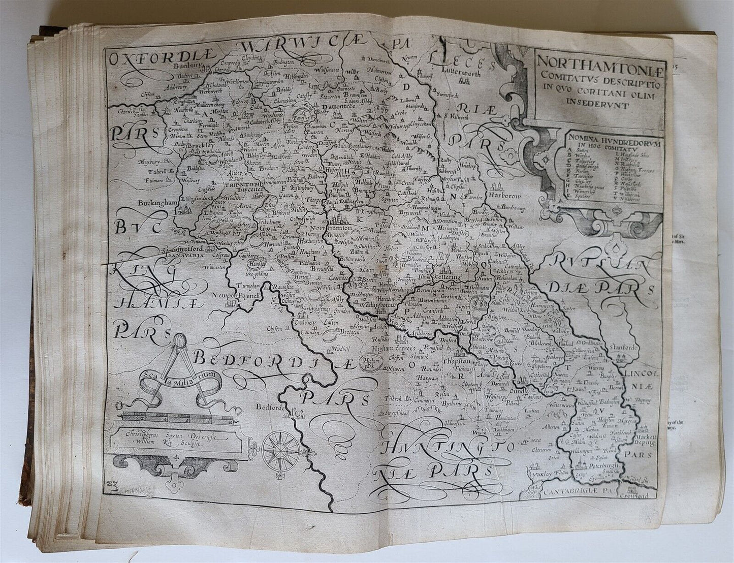
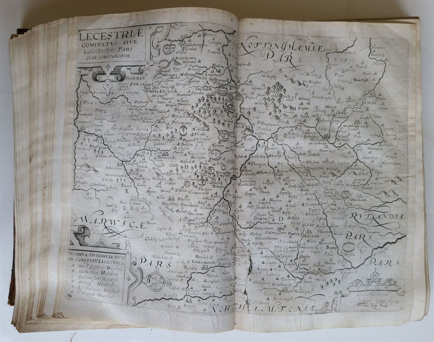
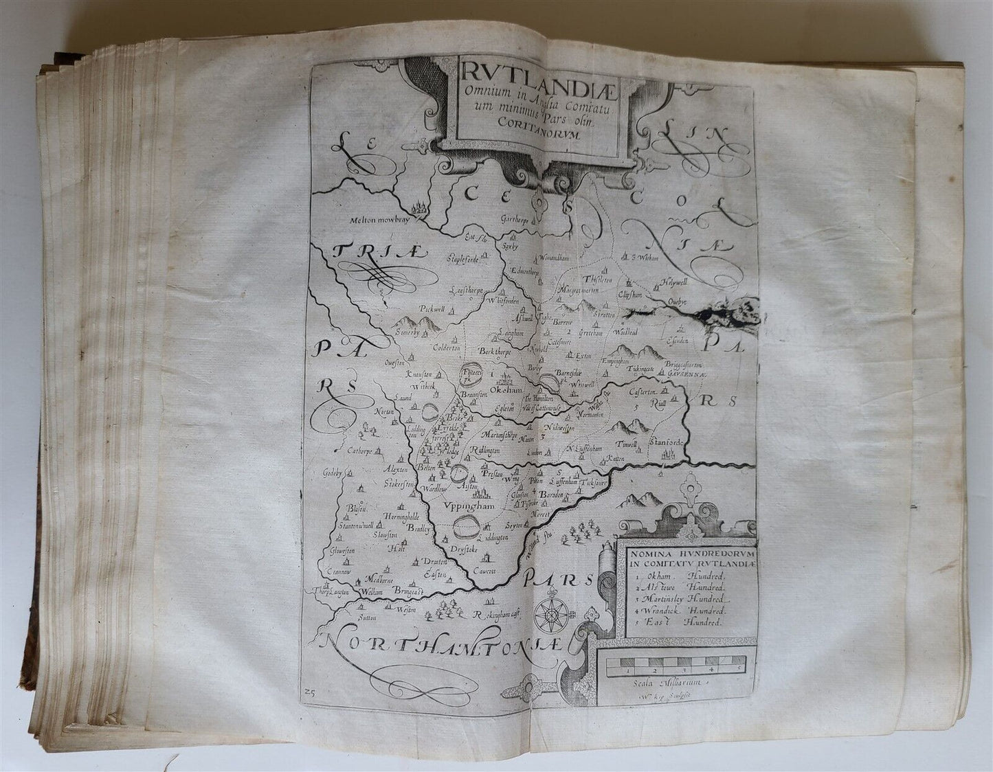
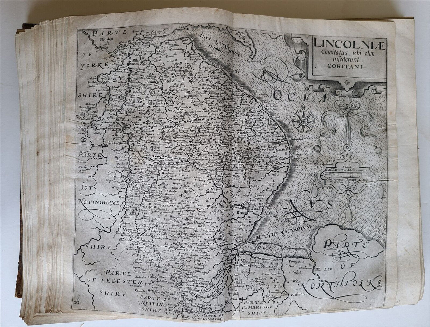
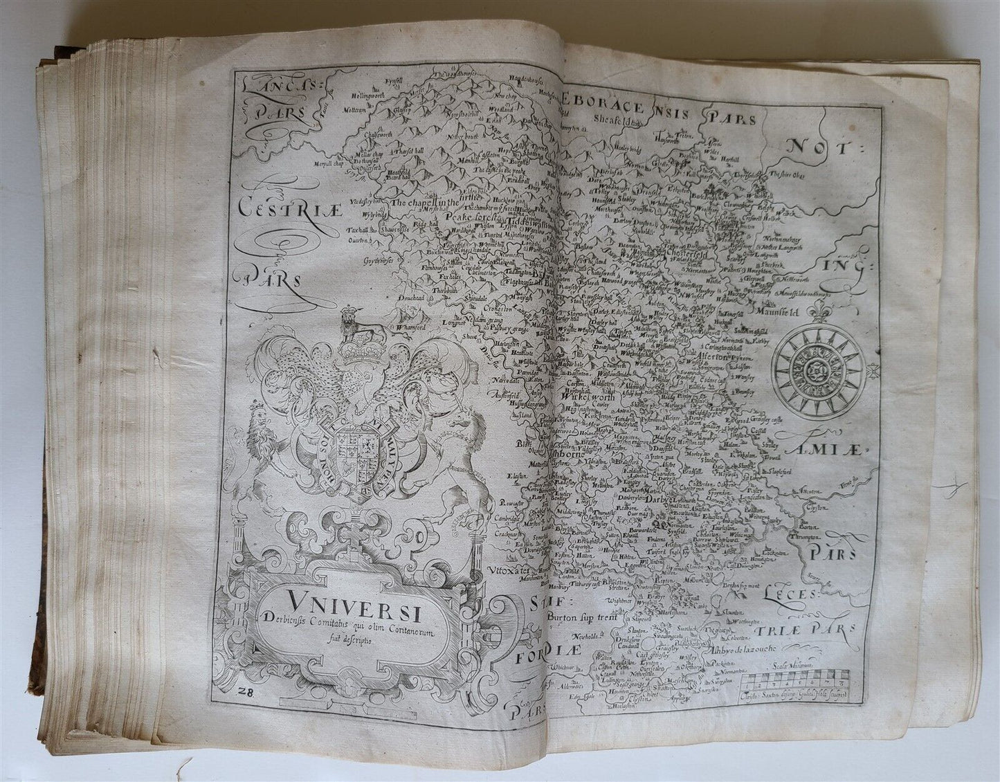
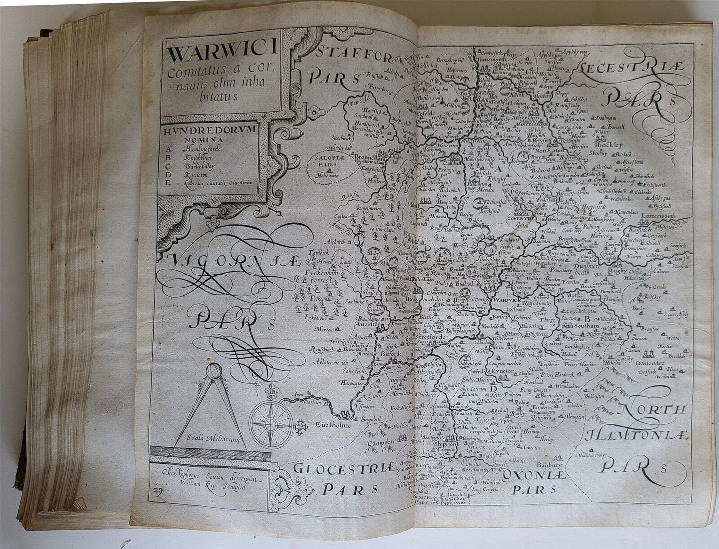
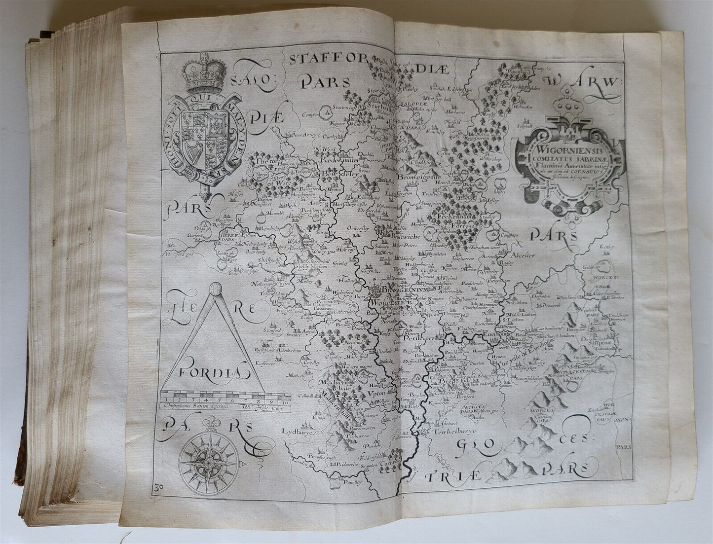
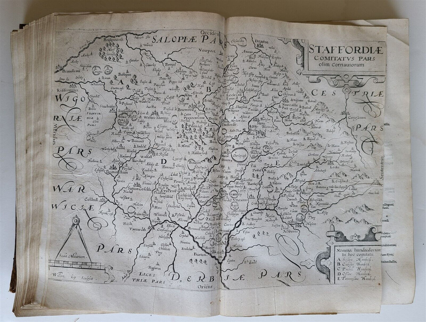
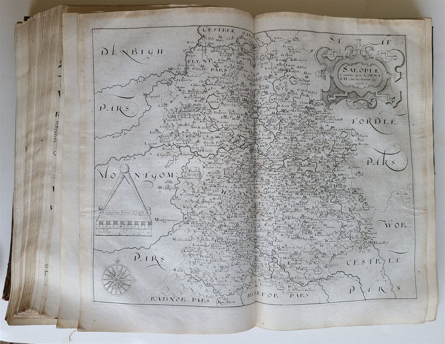
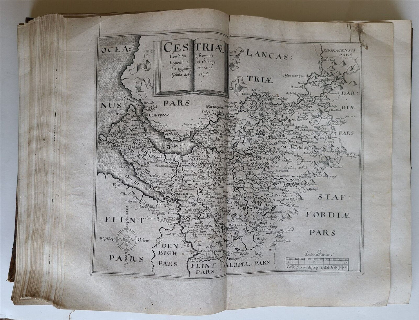
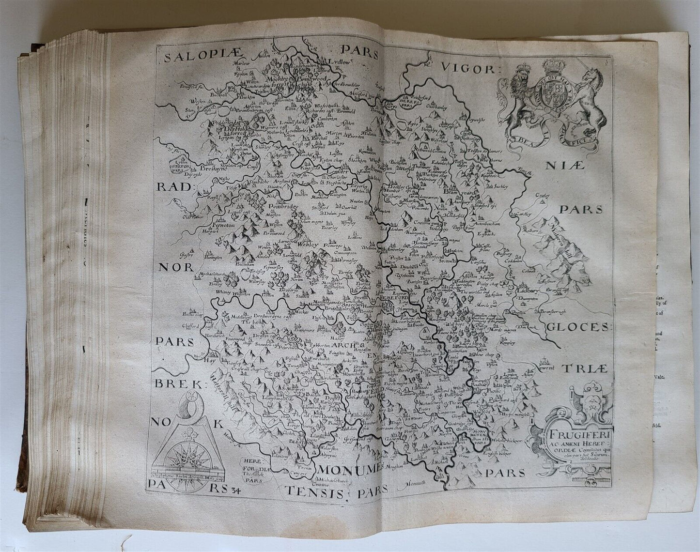
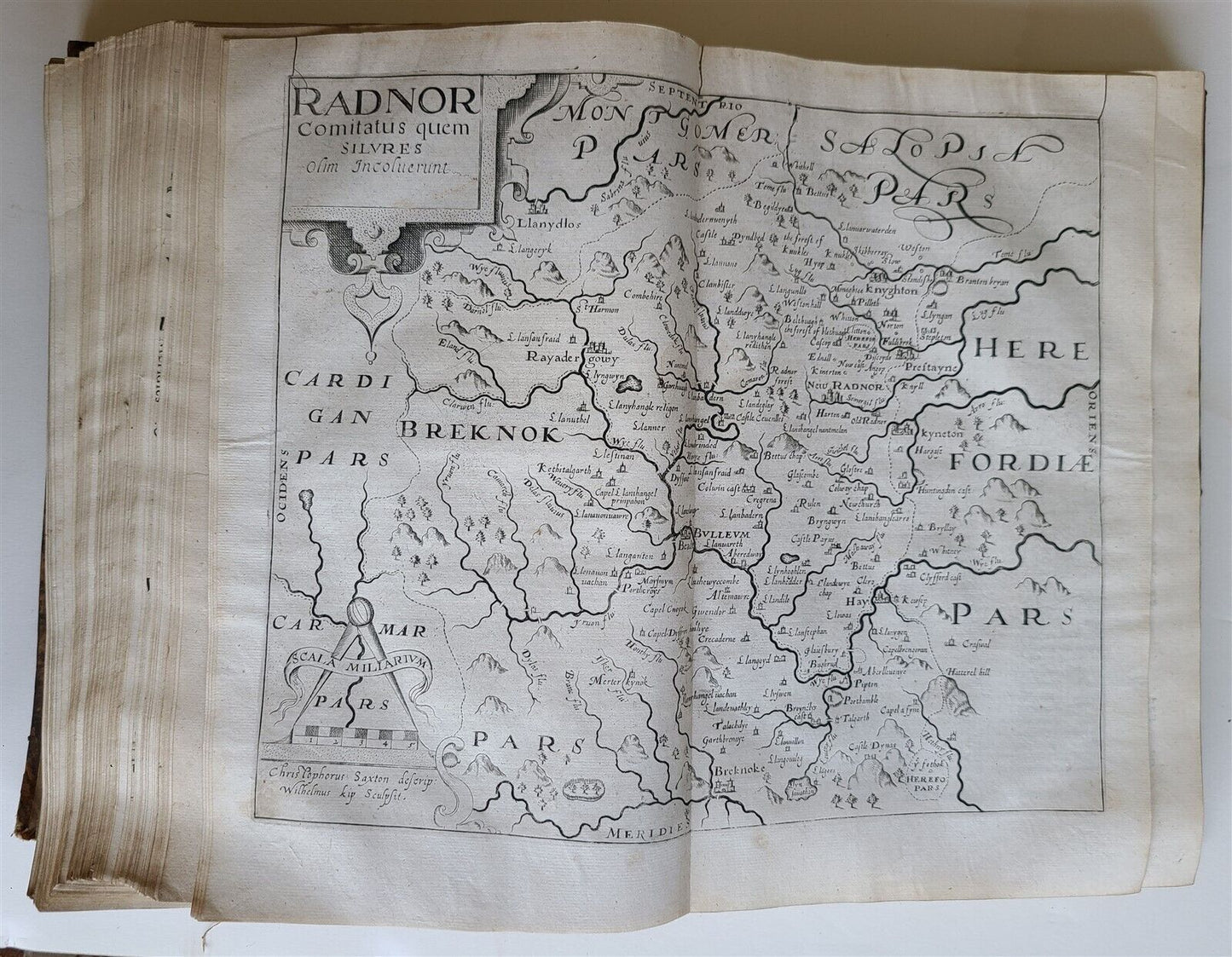
48 (of 57) engraved maps;
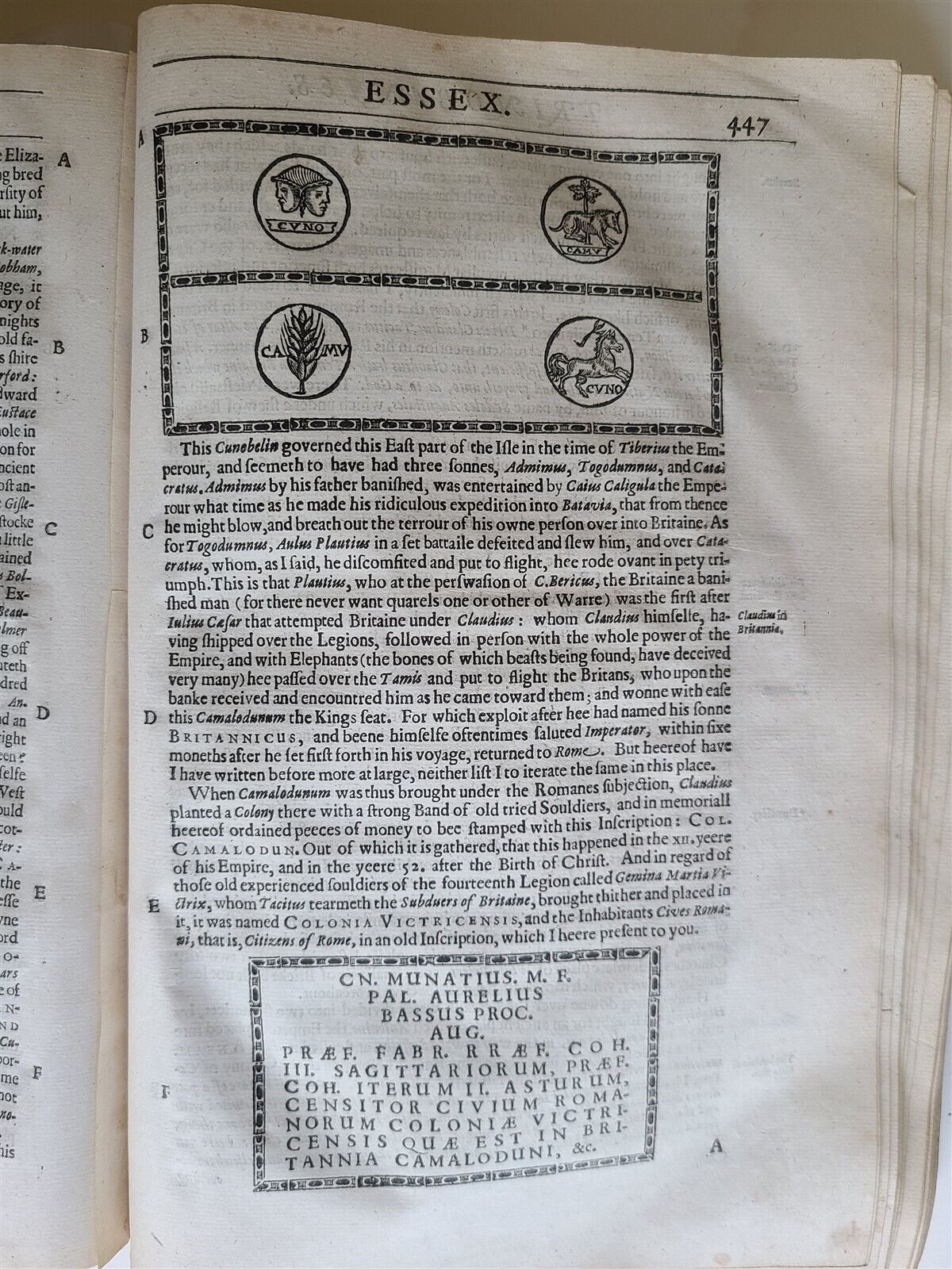
8 plates of Roman and Britons coins, engravings and woodcuts within text.
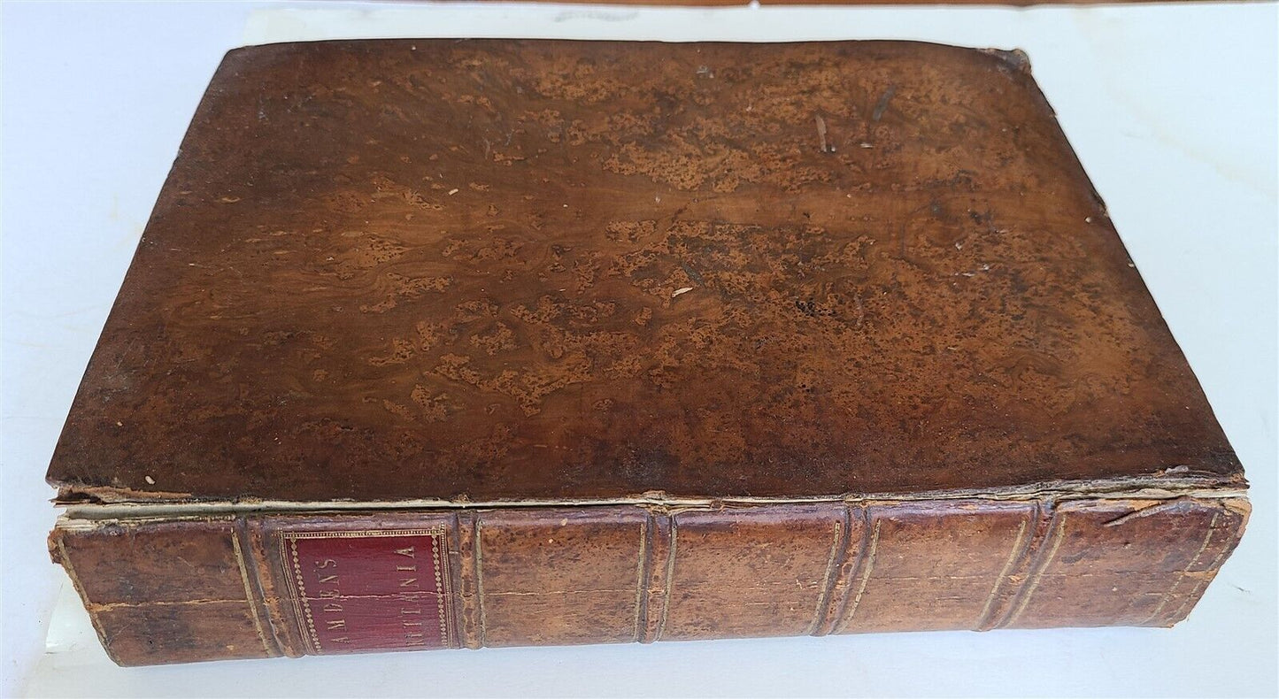
Folio: 9 by 13"
Original calf; lacking 9 maps, preliminary leaves, additional engraved title and final 9 leaves of index, Middlesex map skilfully laid down
Front cover detached (but present)
Front endpaper with period manuscript Index
======================
This is the second edition of Camden's Britannia with English text, translated from Latin by Philemon Holland.
The majority of the maps are based on Christopher Saxton's monumental survey of England and Wales.
Each map is finely engraved with handsome embellishments, such as elaborate title cartouches, large compass roses, and decorative distance scales.
All of the maps are double-page
Text in English
================================
Powered by SixBit's eCommerce Solution
View full details
- Topic:Europe
- Binding:Leather
- Subject:Illustrated
- Language:English
- Original/Facsimile:Original
- Year Printed:1637
