Motka
1640 Brabant Leuven BELGIUM MAP by WILLEM BLAEU antique AUTHENTIC hand colored
1640 Brabant Leuven BELGIUM MAP by WILLEM BLAEU antique AUTHENTIC hand colored
Regular price
$119.00 USD
Regular price
$170.00 USD
Sale price
$119.00 USD
Unit price
per
Couldn't load pickup availability
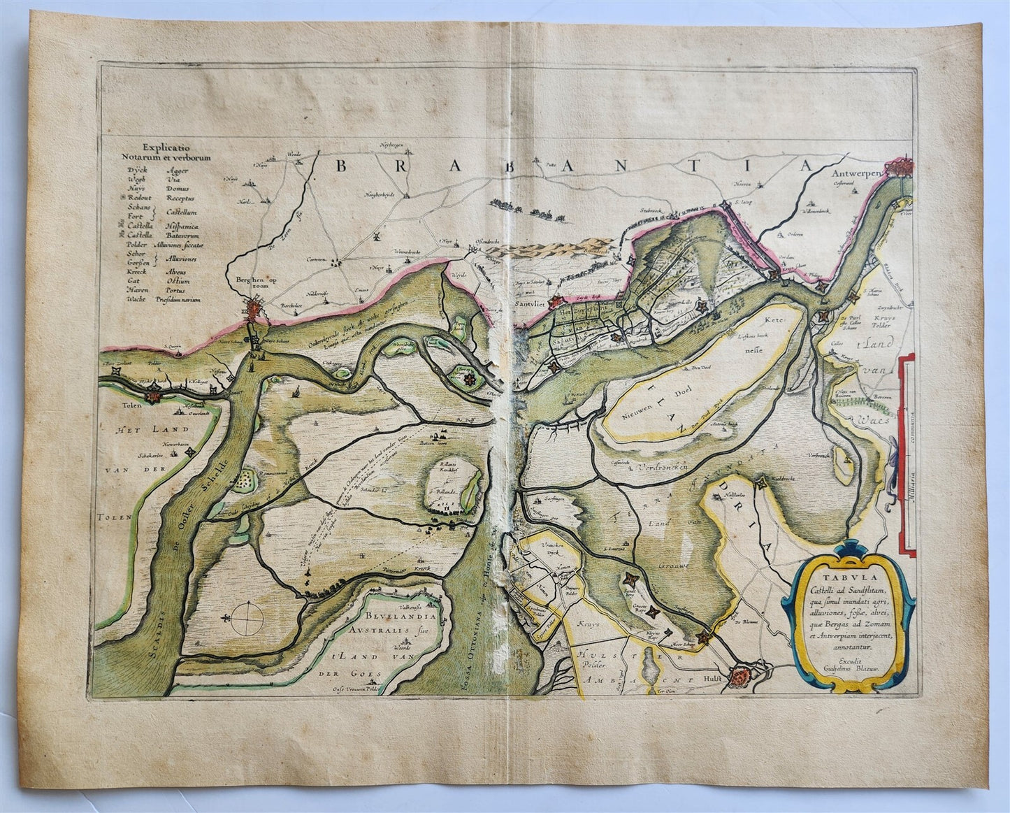
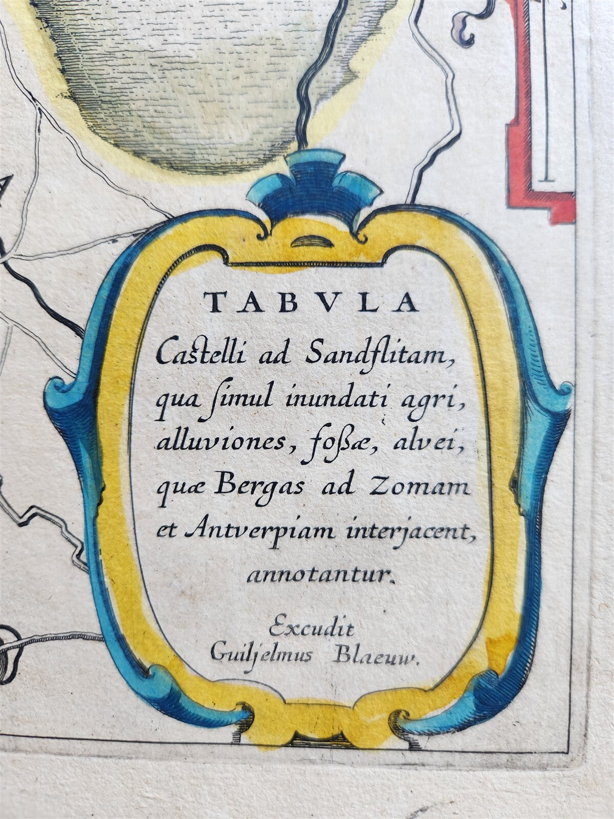
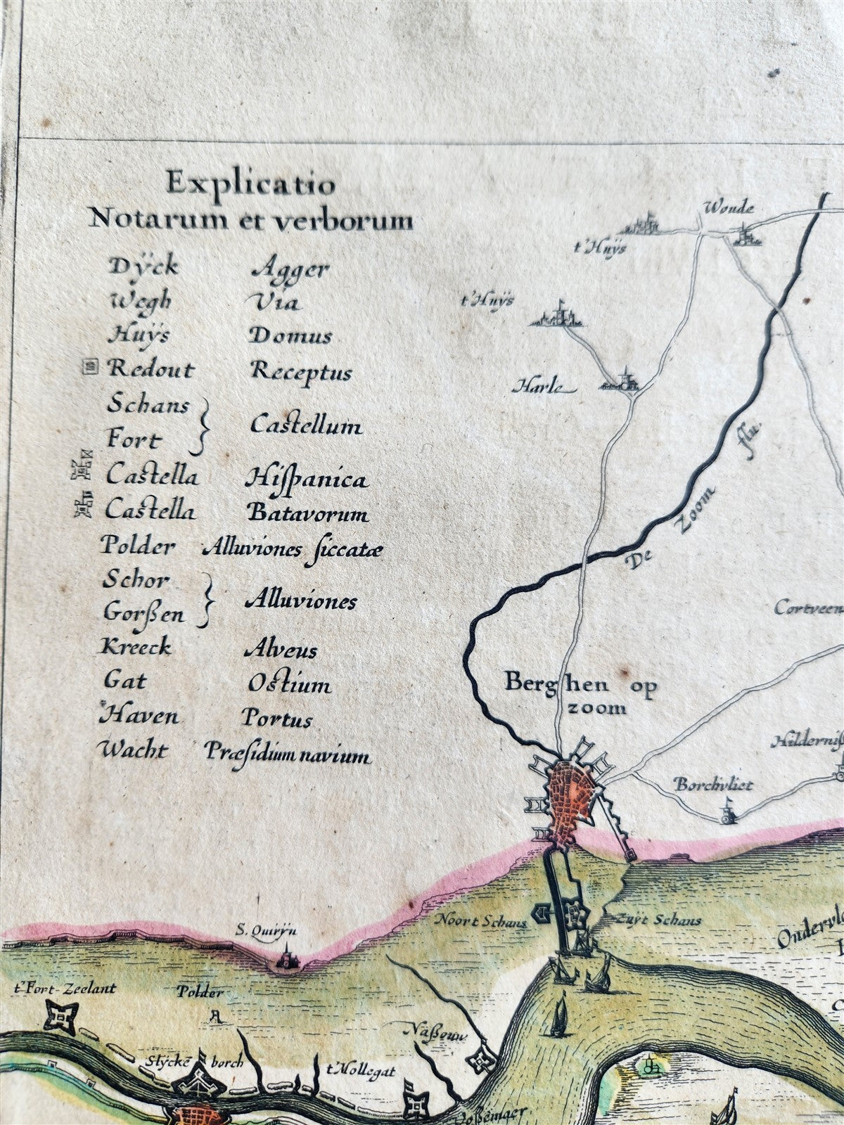
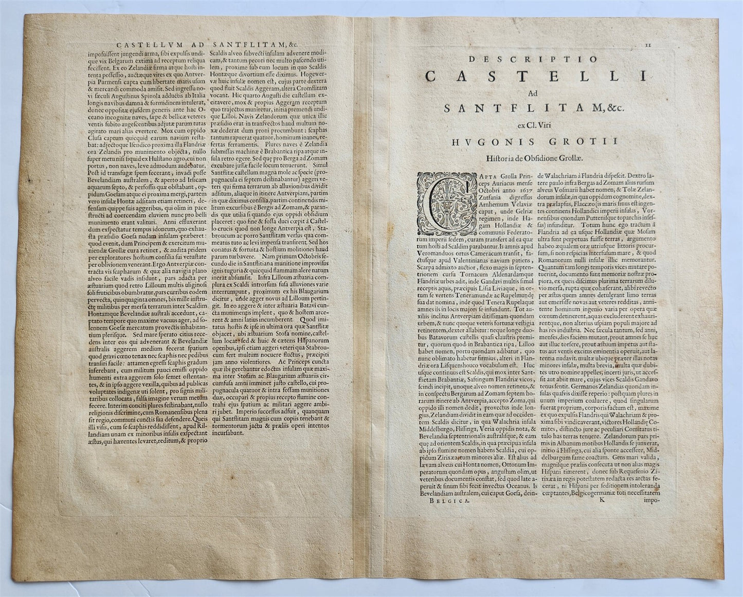
MAP of ANTWERPTabula castelli ad Sandslitam, qua simul inundati agri, alluviones, fossae, alvei, quae Bergas ad Zomam at Antverpiam interjacent annotantur BELGIUMAmsterdam: Willem Blaeu; 1640. (from : Theatrum orbis terrarum, sive Atlas novus)Hand coloredOverall 18 by 22 3/4 inchesSome damages at the fold, visible on the scan100% authentic=========================================Please see my other auctions Thank You
Refund Policy: We will issue a FULL REFUND, 100% money back if you are not satisfied with your purchase. Items must be returned to us within 20 days in order to receive a refund or replacement. Buyer is responsible for shipping costs.
-------------------------------------------------------------------------------------------------------------------------------------------------------------------------------------------------------------------------------------------------------------------------------------------------------------------------------------------------------------------------------------------------------------------------------------------------------------------------------------------------------------------------------------------------------------------------------------------------------------------------------------------------------------------------------------------------------------
MAP of ANTWERPTabula castelli ad Sandslitam, qua simul inundati agri, alluviones, fossae, alvei, quae Bergas ad Zomam at Antverpiam interjacent annotantur BELGIUMAmsterdam: Willem Blaeu; 1640. (from : Theatrum orbis terrarum, sive Atlas novus)Hand coloredOverall 18 by 22 3/4 inchesSome damages at the fold, visible on the scan100% authentic
------------------------------------------------------------------------------------------------------------------------------------------------------------------------------------------------------------------------------------------------------------------------------------------------------------------------------------------------------------------------------
MAP of ANTWERP
Tabula castelli ad Sandslitam, qua simul inundati agri, alluviones, fossae, alvei, quae Bergas ad Zomam at Antverpiam interjacent annotantur
BELGIUM
Amsterdam: Willem Blaeu; 1640.
(from : Theatrum orbis terrarum, sive Atlas novus)
Hand colored
Overall 18 by 22 3/4 inches
Some damages at the fold, visible on the scan
100% authentic
=========================================
Please see my other auctions
Thank You
Refund Policy: We will issue a FULL REFUND, 100% money back if you are not satisfied with your purchase. Items must be returned to us within 20 days in order to receive a refund or replacement. Buyer is responsible for shipping costs.
Powered by SixBit's eCommerce Solution
View full details
- Country/Region:Belgium
- Date Range:1600-1699
- Original/Reproduction:Antique Original
- Type:Topographical Map
- Year:1640