Motka
1640 MAP of Boulogne & Guines FRANCE WILLEM BLAEU antique AUTHENTIC hand colored
1640 MAP of Boulogne & Guines FRANCE WILLEM BLAEU antique AUTHENTIC hand colored
Regular price
$200.90 USD
Regular price
$287.00 USD
Sale price
$200.90 USD
Unit price
per
Couldn't load pickup availability
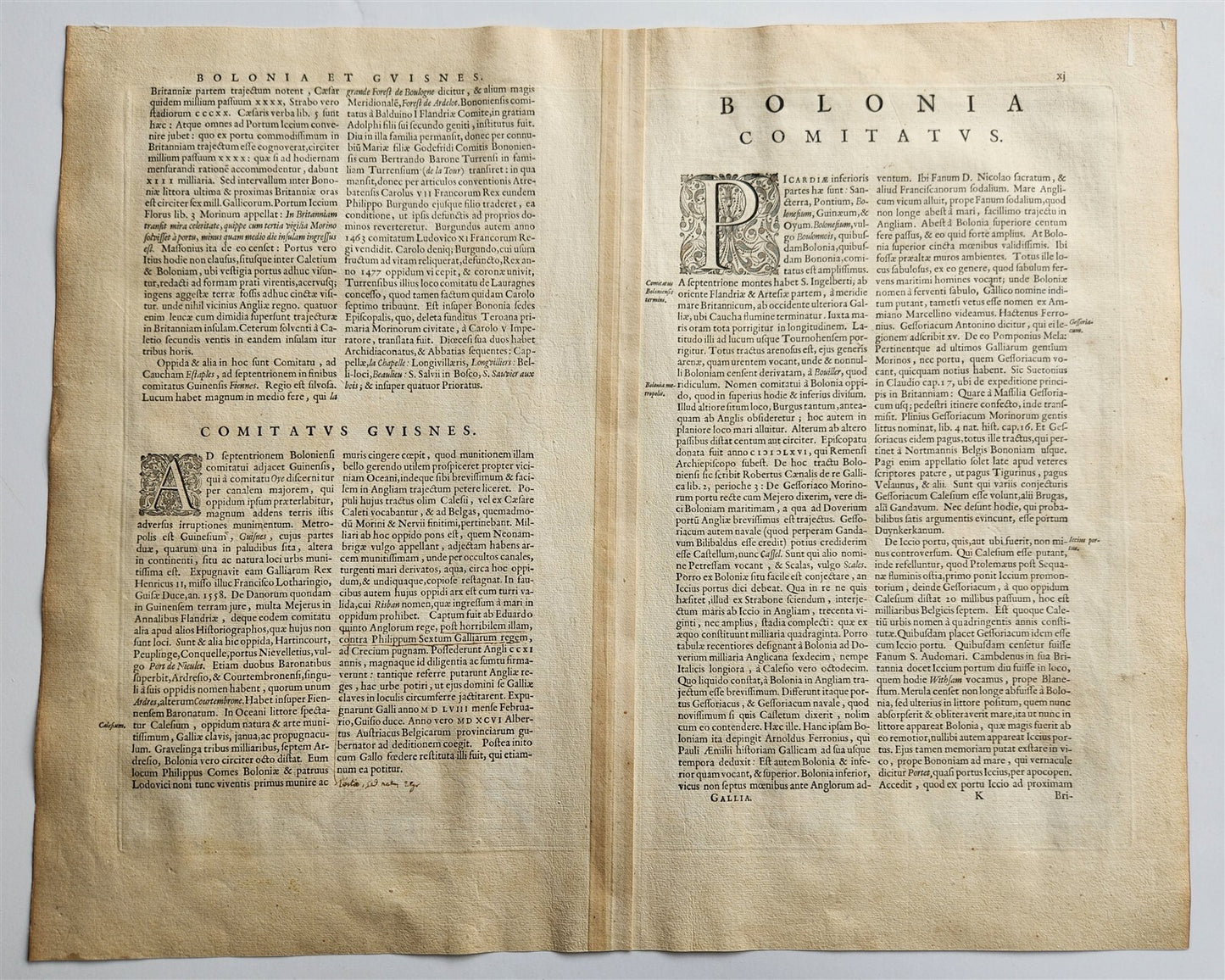
MAP COMITATUM BOLONIAE et GUINES DESCRIPTIO ; FRANCEAmsterdam: Willem Blaeu; 1640. (from : Theatrum orbis terrarum, sive Atlas novus)"Comitatum Boloniae et Guines Descriptio" translates to "Description of the County of Boulogne and Guines" in English. This title refers to a region in northern France, specifically the coast between the Canche River at Etaples and the River Aa at Gravelines. Hand coloredOverall 18.5 by 22.5 inchesVery good condition100% authentic=========================================Please see my other auctions Thank You
Refund Policy: We will issue a FULL REFUND, 100% money back if you are not satisfied with your purchase. Items must be returned to us within 20 days in order to receive a refund or replacement. Buyer is responsible for shipping costs.
--------------------------------------------------------------------------------------------------------------------------------------------------------------------------------------------------------------------------------------------------------------------------------------------------------------------------------------------------------------------------------------------------------------------------------------------------------------------------------------------------------------------------------------------------------------------------------------------------------------------------------------------------------------------------------------------------------------------------------------------------------------------------------------------------------------------------------------------------------------
MAP COMITATUM BOLONIAE et GUINES DESCRIPTIO ; FRANCEAmsterdam: Willem Blaeu; 1640. (from : Theatrum orbis terrarum, sive Atlas novus)"Comitatum Boloniae et Guines Descriptio" translates to "Description of the County of Boulogne and Guines" in English. This title refers to a region in northern France, specifically the coast between the Canche River at Etaples and the River Aa at Gravelines. Hand coloredOverall 18.5 by 22.5 inchesVery good condition100% authentic
-------------------------------------------------------------------------------------------------------------------------------------------------------------------------------------------------------------------------------------------------------------------------------------------------------------------------------------------------------------------------------------------------------------------------------------------------------------------------------------------------------------------------------
MAP
COMITATUM BOLONIAE et GUINES DESCRIPTIO ; FRANCE
Amsterdam: Willem Blaeu; 1640.
(from : Theatrum orbis terrarum, sive Atlas novus)
"Comitatum Boloniae et Guines Descriptio" translates to "Description of the County of Boulogne and Guines" in English.
This title refers to a region in northern France, specifically the coast between the Canche River at Etaples and the River Aa at Gravelines.
Hand colored
Overall 18.5 by 22.5 inches
Very good condition
100% authentic
=========================================
Please see my other auctions
Thank You
Refund Policy: We will issue a FULL REFUND, 100% money back if you are not satisfied with your purchase. Items must be returned to us within 20 days in order to receive a refund or replacement. Buyer is responsible for shipping costs.
Powered by SixBit's eCommerce Solution
View full details
- Country/Region:France
- Date Range:1600-1699
- Type:Topographical Map