Motka
1640 MAP of GERMANY HOLSTEIN by WILLEM BLAEU antique AUTHENTIC hand colored
1640 MAP of GERMANY HOLSTEIN by WILLEM BLAEU antique AUTHENTIC hand colored
Regular price
$200.90 USD
Regular price
$287.00 USD
Sale price
$200.90 USD
Unit price
per
Couldn't load pickup availability
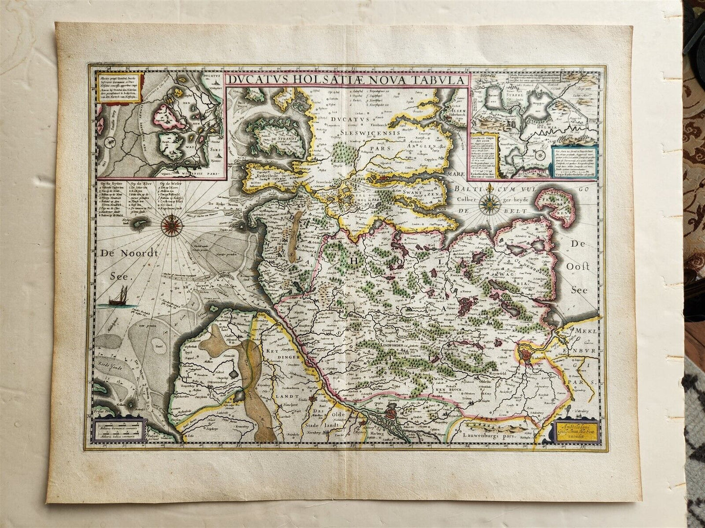
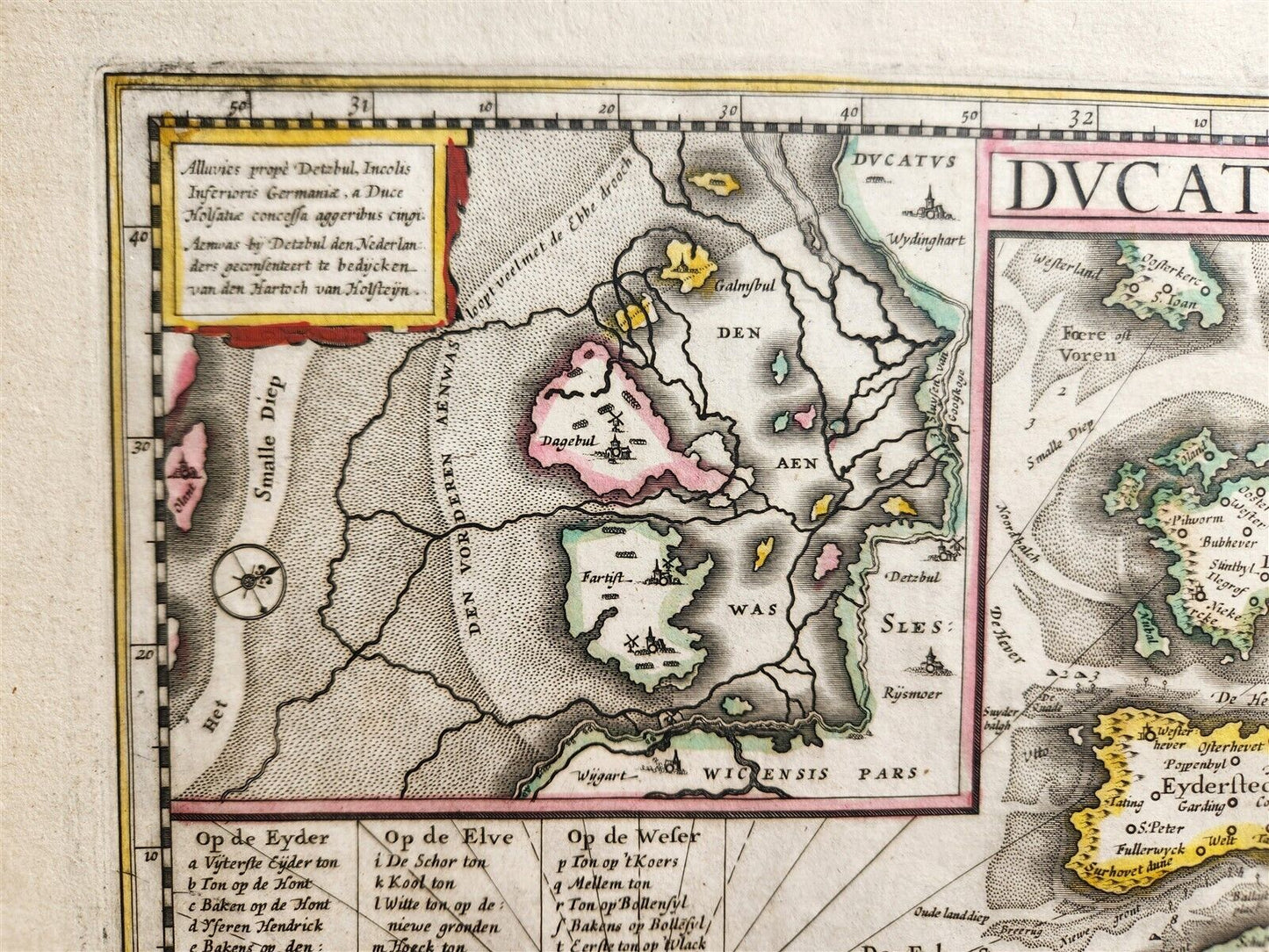
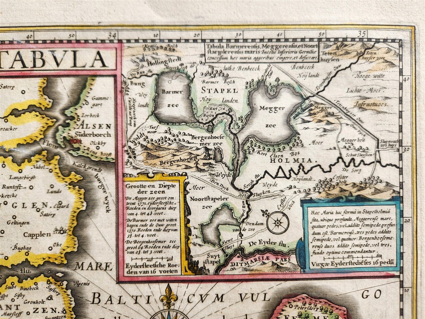
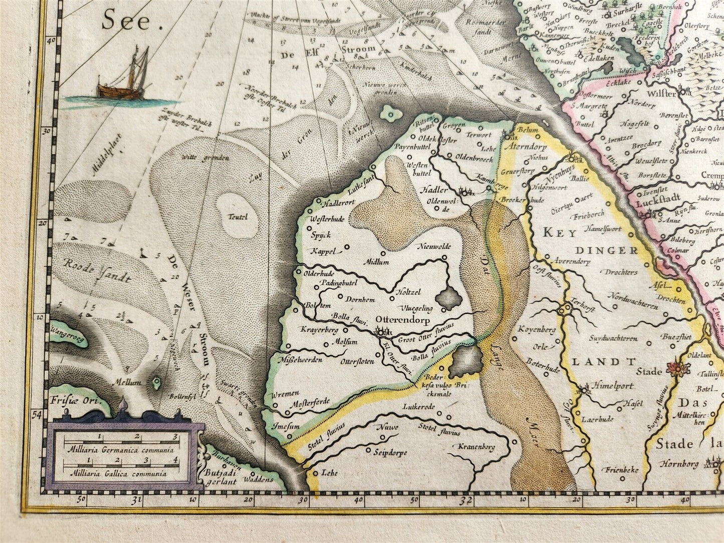
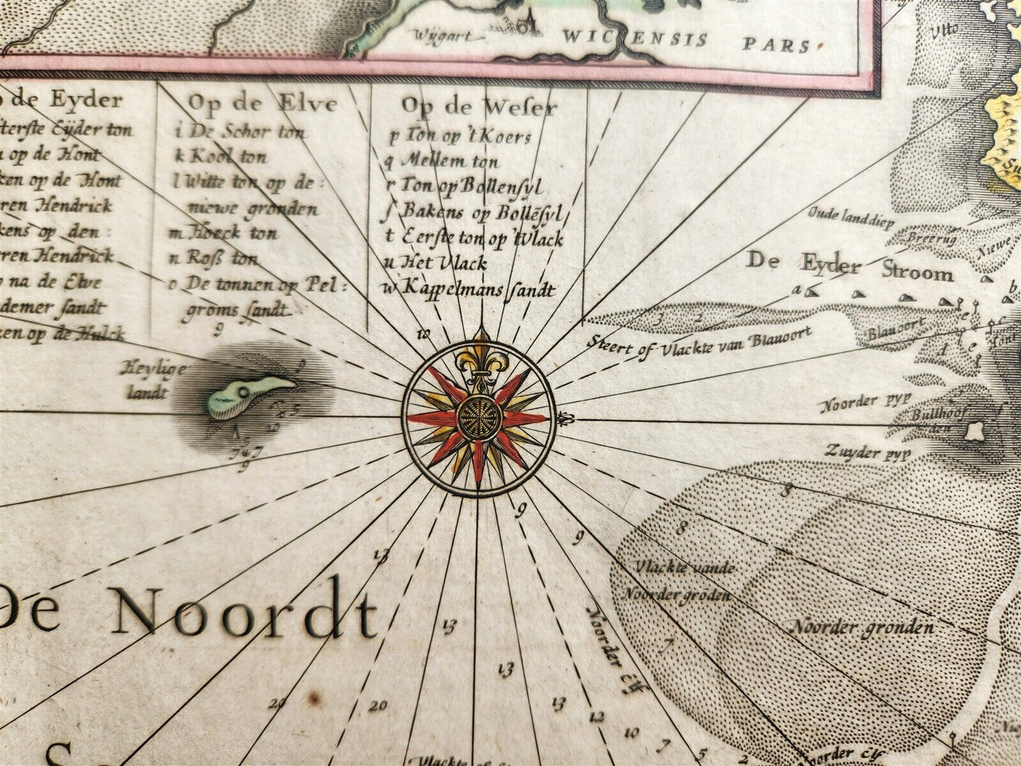
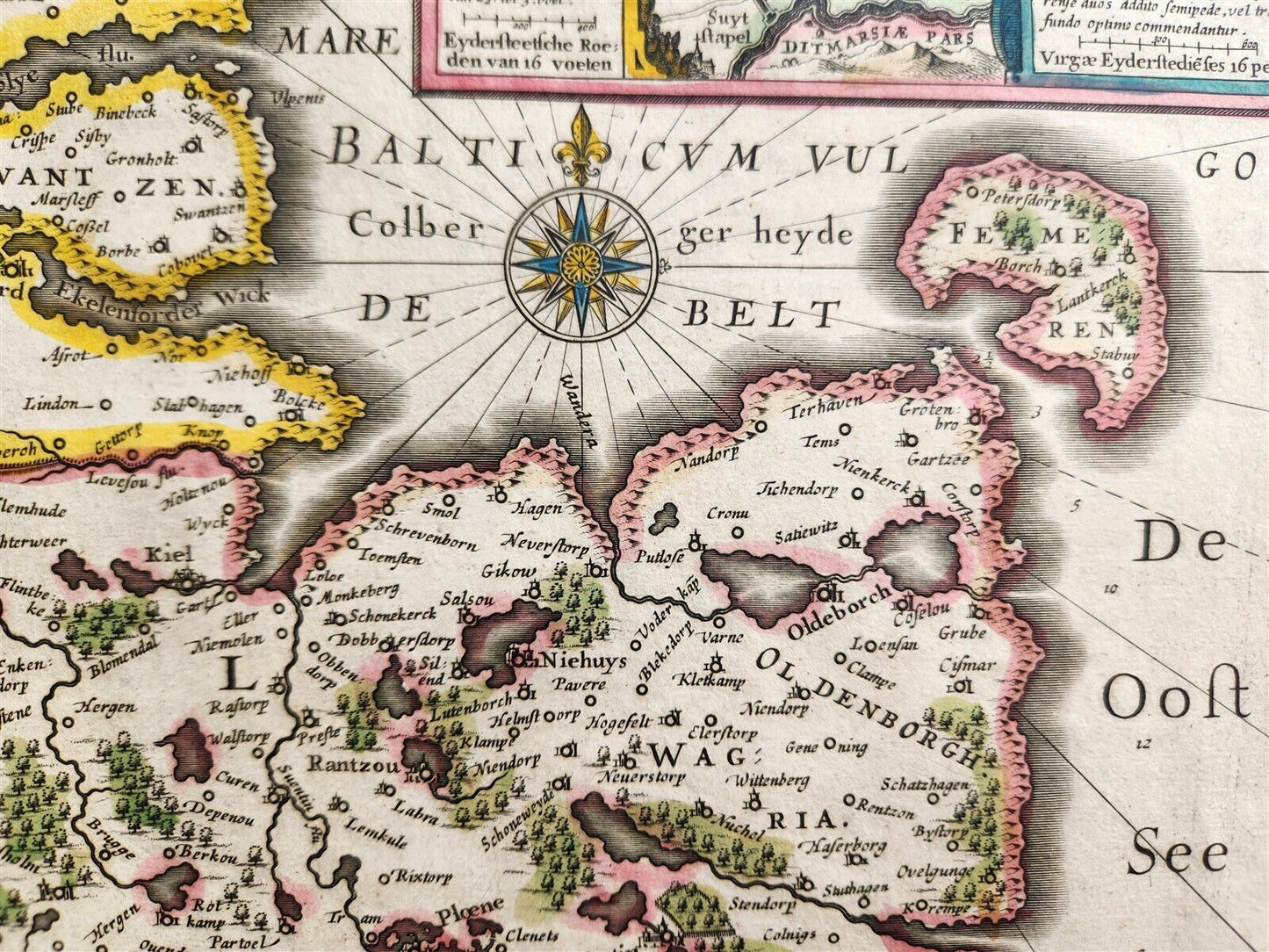
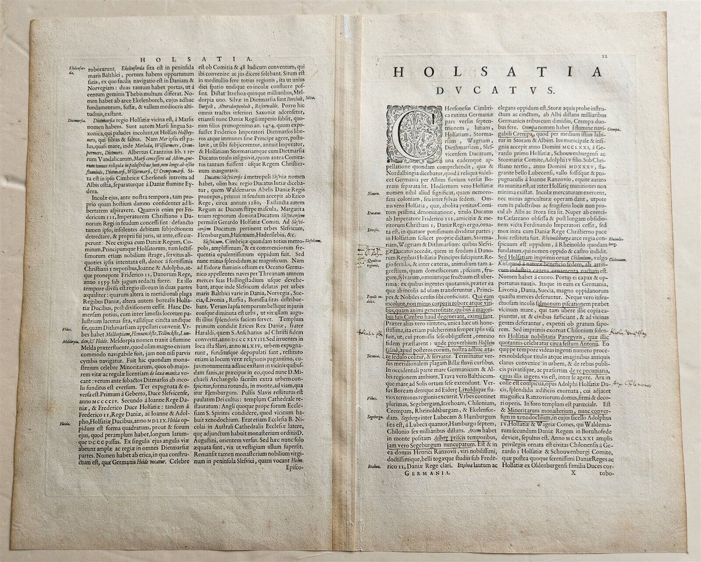
MAP DUCATUS HOLSATIAE NOVA TABULAAmsterdam: Willem Blaeu; 1640. (from : Theatrum orbis terrarum, sive Atlas novus)Map of Northern Germany:Duchy of HolsteinHand coloredSize of the plate 14 3/4 by 20 inchesOverall 18 1/3 by 22 1/2 inchesVery good condition100% authentic=========================================Please see my other auctions Thank You
Refund Policy: We will issue a FULL REFUND, 100% money back if you are not satisfied with your purchase. Items must be returned to us within 20 days in order to receive a refund or replacement. Buyer is responsible for shipping costs.
----------------------------------------------------------------------------------------------------------------------------------------------------------------------------------------------------------------------------------------------------------------------------------------------------------------------------------------------------------------------------------------------------------------------------------------------------------------------------------------------------------------------------------------------------------------------------------------------------------------------------------------------------------
MAP DUCATUS HOLSATIAE NOVA TABULAAmsterdam: Willem Blaeu; 1640. (from : Theatrum orbis terrarum, sive Atlas novus)Map of Northern Germany:Duchy of HolsteinHand coloredSize of the plate 14 3/4 by 20 inchesOverall 18 1/3 by 22 1/2 inchesVery good condition100% authentic
---------------------------------------------------------------------------------------------------------------------------------------------------------------------------------------------------------------------------------------------------------------------------------------------------------------------------
MAP
DUCATUS HOLSATIAE NOVA TABULA
Amsterdam: Willem Blaeu; 1640.
(from : Theatrum orbis terrarum, sive Atlas novus)
Map of Northern Germany:
Duchy of Holstein
Hand colored
Size of the plate 14 3/4 by 20 inches
Overall 18 1/3 by 22 1/2 inches
Very good condition
100% authentic
=========================================
Please see my other auctions
Thank You
Refund Policy: We will issue a FULL REFUND, 100% money back if you are not satisfied with your purchase. Items must be returned to us within 20 days in order to receive a refund or replacement. Buyer is responsible for shipping costs.
Powered by SixBit's eCommerce Solution
View full details
- Country/Region:Germany
- Date Range:1600-1699
- Type:Topographical Map