Motka
1640 MAP of POLAND KLADSKO GLATZ by WILLEM BLAEU antique AUTHENTIC hand colored
1640 MAP of POLAND KLADSKO GLATZ by WILLEM BLAEU antique AUTHENTIC hand colored
Regular price
$200.90 USD
Regular price
$287.00 USD
Sale price
$200.90 USD
Unit price
per
Couldn't load pickup availability
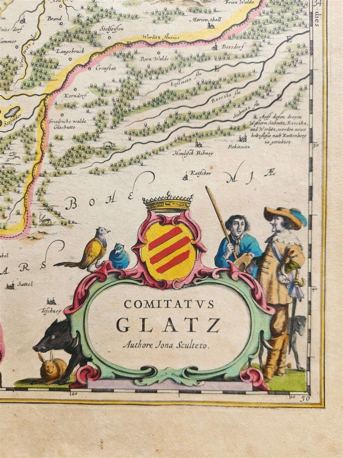
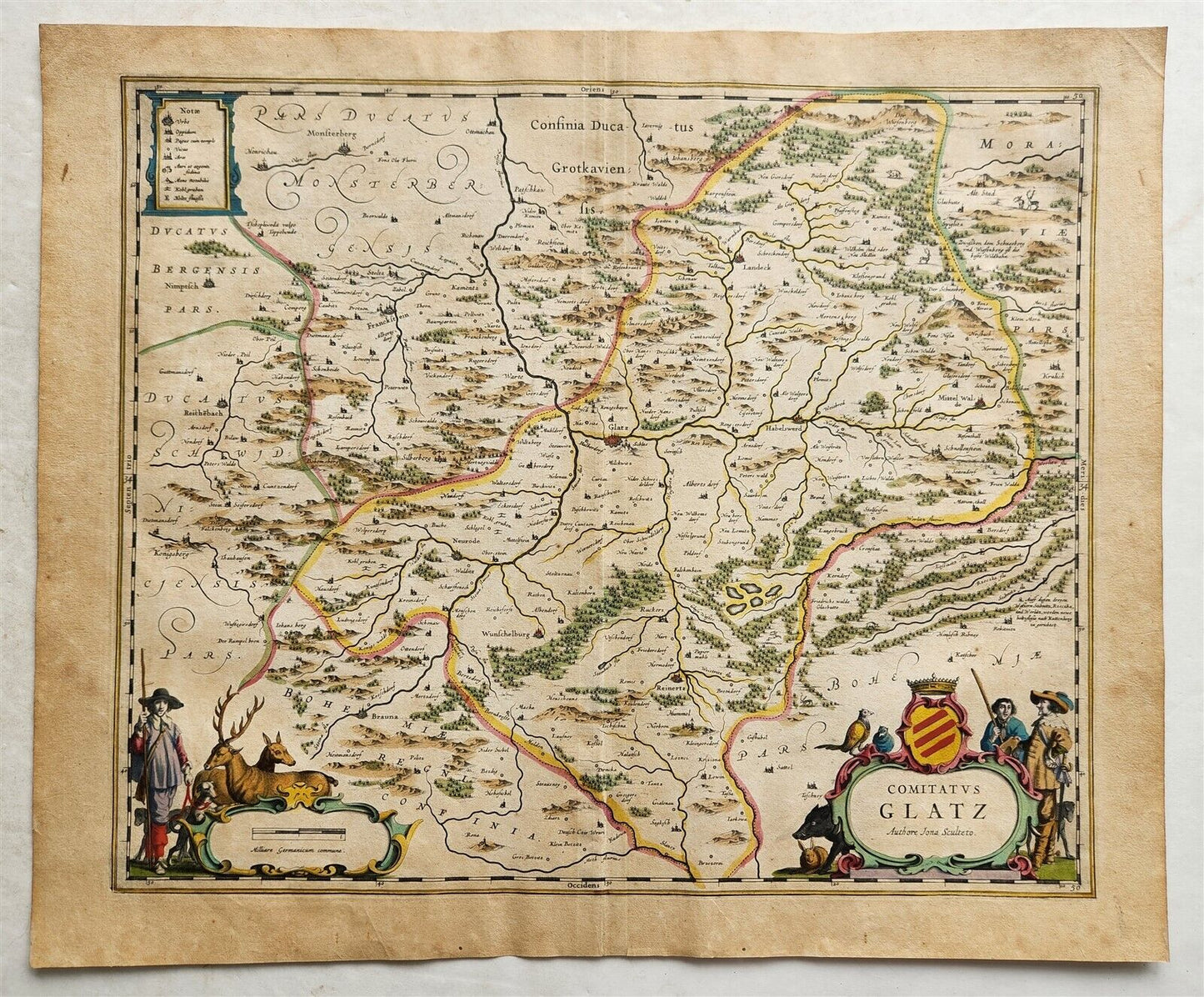
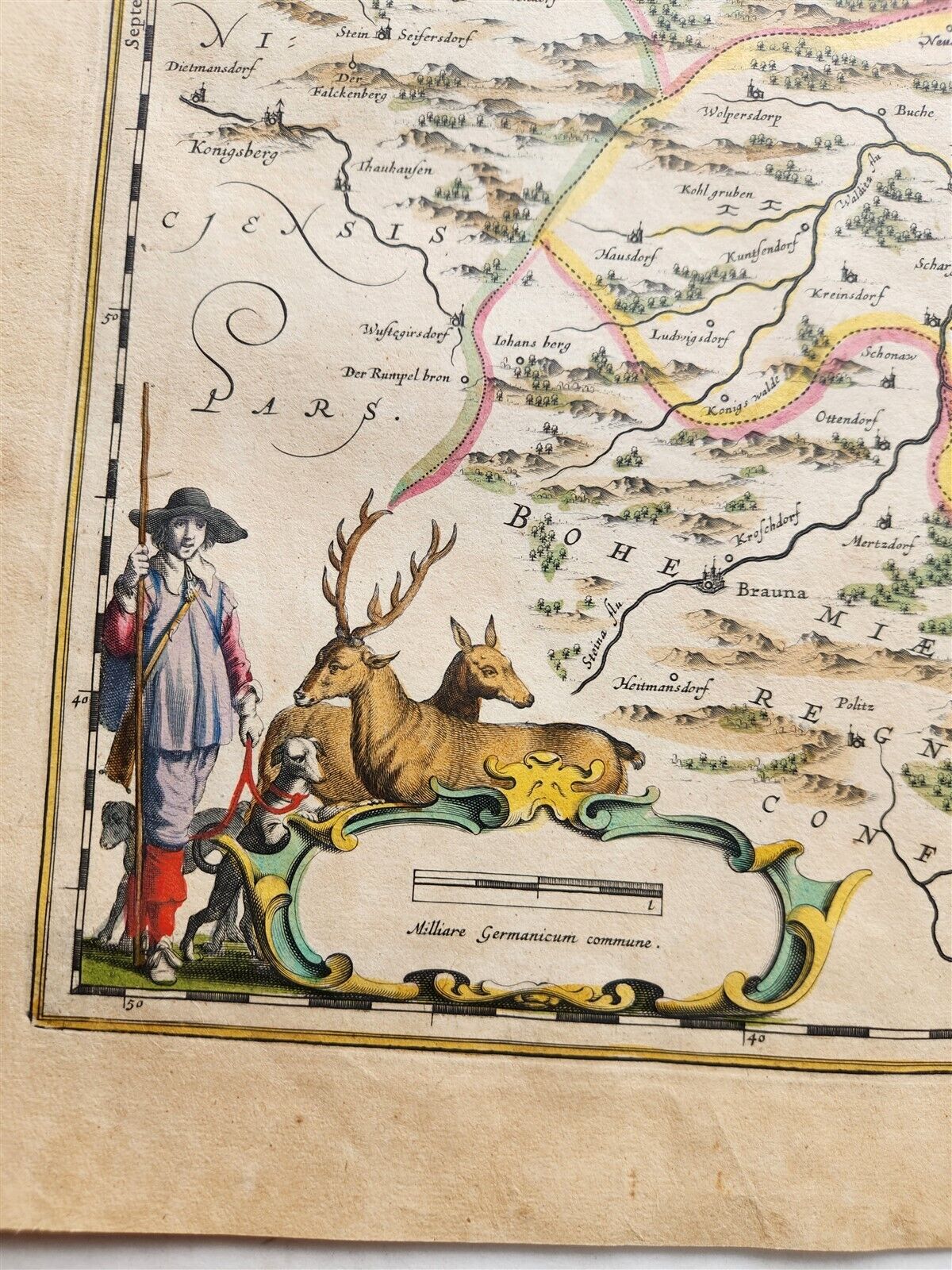
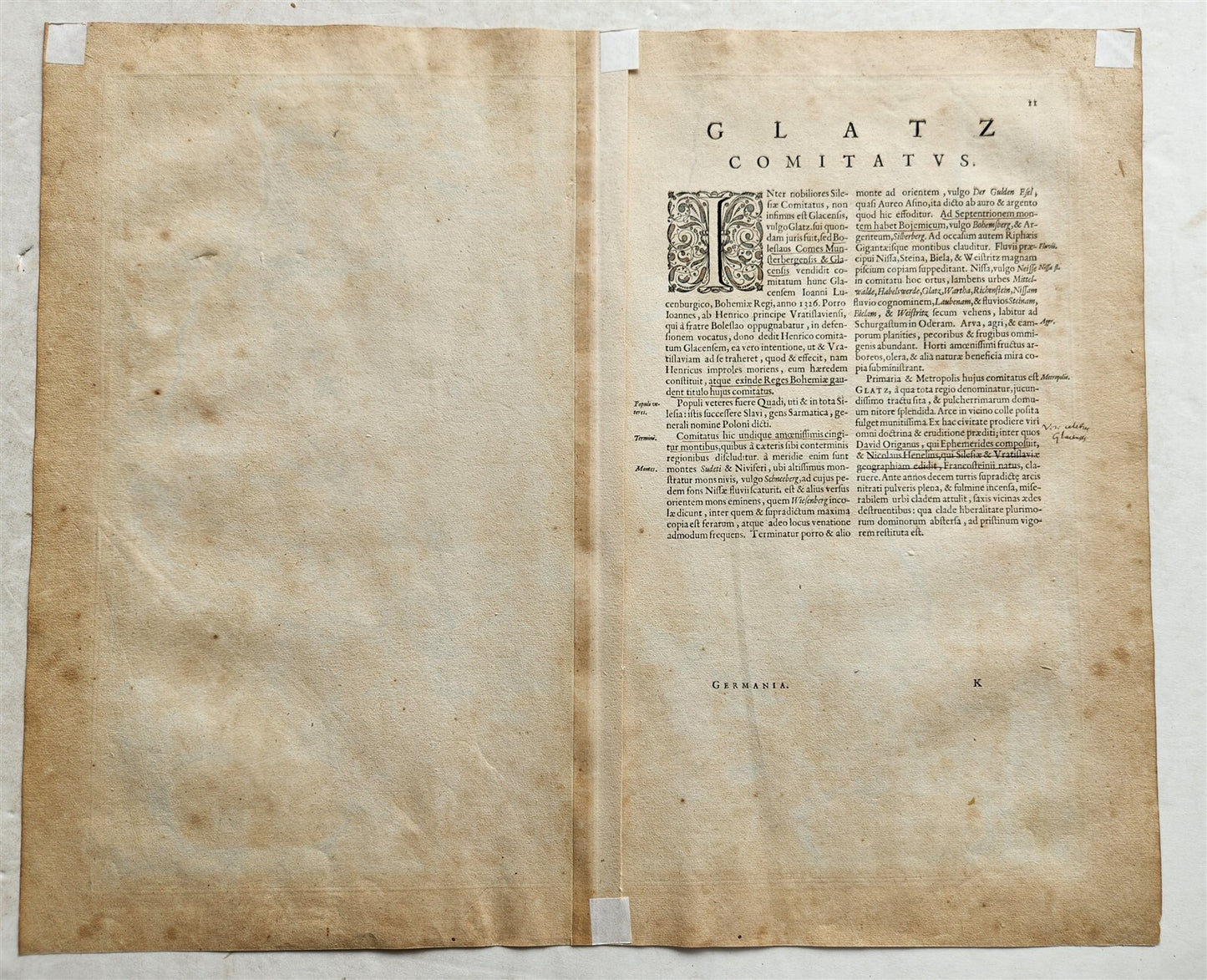
MAP COMITATUS GLATZAmsterdam: Willem Blaeu; 1640. (from : Theatrum orbis terrarum, sive Atlas novus)Map of Germany (modern Poland): part of the former Kingdom of Bohemia. Today, the county and city of Kladsko, Poland (Glatz, in German) At the time of publication it was under the control of the Hapsburg Empire. Hand coloredPlate size 14 3/4 by 19 1/2 inches (overall 18 1/2 by 22 1/2 inches)Very good condition100% authentic=========================================Please see my other auctions Thank You
Refund Policy: We will issue a FULL REFUND, 100% money back if you are not satisfied with your purchase. Items must be returned to us within 20 days in order to receive a refund or replacement. Buyer is responsible for shipping costs.
-------------------------------------------------------------------------------------------------------------------------------------------------------------------------------------------------------------------------------------------------------------------------------------------------------------------------------------------------------------------------------------------------------------------------------------------------------------------------------------------------------------------------------------------------------------------------------------------------------------------------------------------------------------------------------------------------------------------------------------------------------------------------------------------------
MAP COMITATUS GLATZAmsterdam: Willem Blaeu; 1640. (from : Theatrum orbis terrarum, sive Atlas novus)Map of Germany (modern Poland): part of the former Kingdom of Bohemia. Today, the county and city of Kladsko, Poland (Glatz, in German) At the time of publication it was under the control of the Hapsburg Empire. Hand coloredPlate size 14 3/4 by 19 1/2 inches (overall 18 1/2 by 22 1/2 inches)Very good condition100% authentic
------------------------------------------------------------------------------------------------------------------------------------------------------------------------------------------------------------------------------------------------------------------------------------------------------------------------------------------------------------------------------------------------------------------------------------------------------------------
MAP
COMITATUS GLATZ
Amsterdam: Willem Blaeu; 1640.
(from : Theatrum orbis terrarum, sive Atlas novus)
Map of Germany (modern Poland):
part of the former Kingdom of Bohemia.
Today, the county and city of Kladsko, Poland (Glatz, in German)
At the time of publication it was under the control of the Hapsburg Empire.
Hand colored
Plate size 14 3/4 by 19 1/2 inches (overall 18 1/2 by 22 1/2 inches)
Very good condition
100% authentic
=========================================
Please see my other auctions
Thank You
Refund Policy: We will issue a FULL REFUND, 100% money back if you are not satisfied with your purchase. Items must be returned to us within 20 days in order to receive a refund or replacement. Buyer is responsible for shipping costs.
Powered by SixBit's eCommerce Solution
View full details
- Country/Region:Poland
- Date Range:1600-1699
- Type:Topographical Map