Motka
1640 MAP of RHINE RIVER REGION NETHERLANDS by WILLEM BLAEU antique AUTHENTIC
1640 MAP of RHINE RIVER REGION NETHERLANDS by WILLEM BLAEU antique AUTHENTIC
Regular price
$200.90 USD
Regular price
$287.00 USD
Sale price
$200.90 USD
Unit price
per
Couldn't load pickup availability
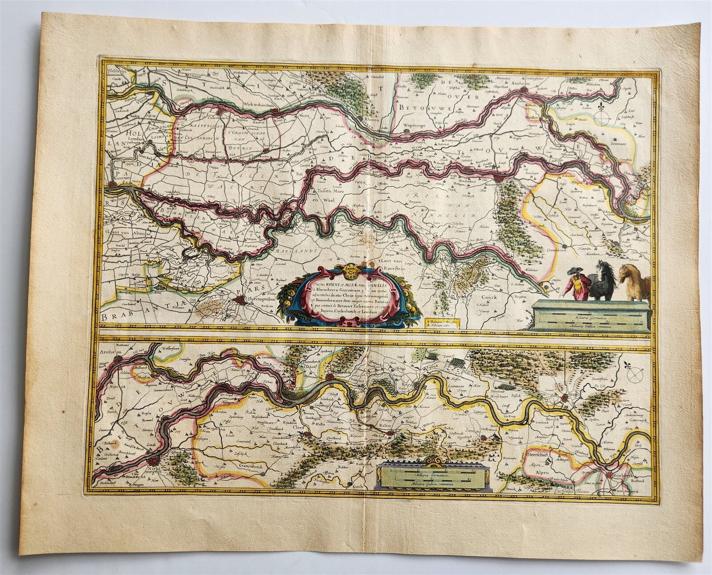
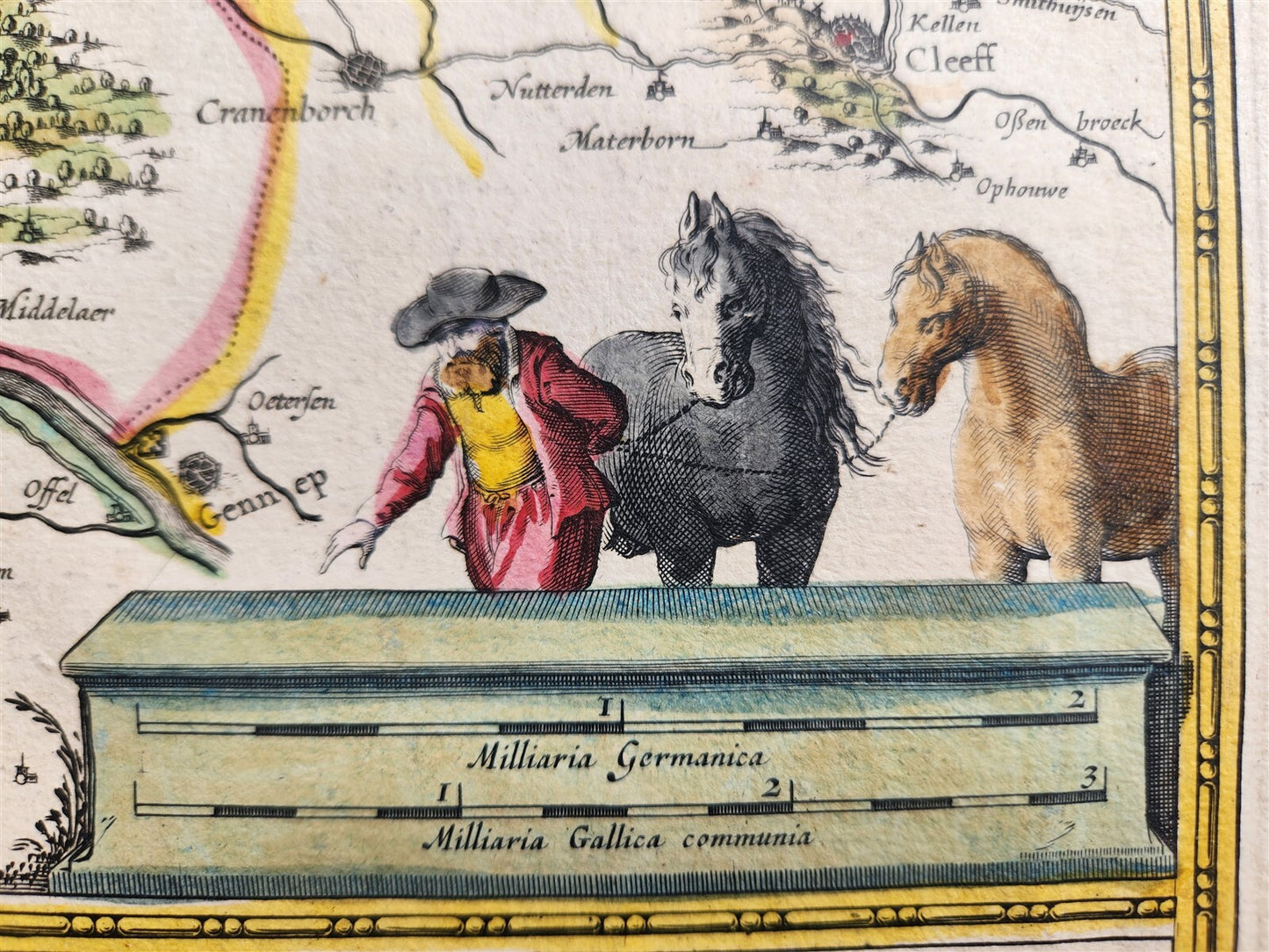
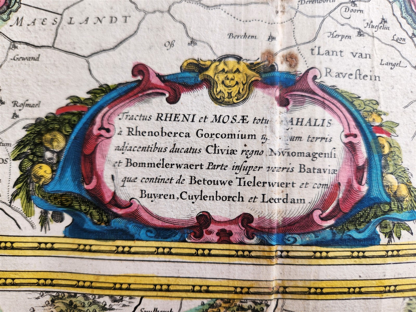
MAP TRACTUS RHENI et MOSAENETHERLANDSAmsterdam: Willem Blaeu; 1640. (from : Theatrum orbis terrarum, sive Atlas novus) depicting the Rhine (Rhenus) and Meuse (Mosae) rivers, and their confluence with the Waal River in the Netherlands. Shows the area where these rivers converge before entering the sea. The map includes fortified towns and forests. Hand coloredOverall 18.5 by 22.5 inchesVery good condition, minor wear100% authentic=========================================Please see my other auctions Thank You
Refund Policy: We will issue a FULL REFUND, 100% money back if you are not satisfied with your purchase. Items must be returned to us within 20 days in order to receive a refund or replacement. Buyer is responsible for shipping costs.
---------------------------------------------------------------------------------------------------------------------------------------------------------------------------------------------------------------------------------------------------------------------------------------------------------------------------------------------------------------------------------------------------------------------------------------------------------------------------------------------------------------------------------------------------------------------------------------------------------------------------------------------------------------------------------------------------------------------------------------------------------------------------------------------------------
MAP TRACTUS RHENI et MOSAENETHERLANDSAmsterdam: Willem Blaeu; 1640. (from : Theatrum orbis terrarum, sive Atlas novus) depicting the Rhine (Rhenus) and Meuse (Mosae) rivers, and their confluence with the Waal River in the Netherlands. Shows the area where these rivers converge before entering the sea. The map includes fortified towns and forests. Hand coloredOverall 18.5 by 22.5 inchesVery good condition, minor wear100% authentic
--------------------------------------------------------------------------------------------------------------------------------------------------------------------------------------------------------------------------------------------------------------------------------------------------------------------------------------------------------------------------------------------------------------------------------------------------------------------------
MAP
TRACTUS RHENI et MOSAE
NETHERLANDS
Amsterdam: Willem Blaeu; 1640.
(from : Theatrum orbis terrarum, sive Atlas novus)
depicting the Rhine (Rhenus) and Meuse (Mosae) rivers, and their confluence with the Waal River in the Netherlands.
Shows the area where these rivers converge before entering the sea. The map includes fortified towns and forests.
Hand colored
Overall 18.5 by 22.5 inches
Very good condition, minor wear
100% authentic
=========================================
Please see my other auctions
Thank You
Refund Policy: We will issue a FULL REFUND, 100% money back if you are not satisfied with your purchase. Items must be returned to us within 20 days in order to receive a refund or replacement. Buyer is responsible for shipping costs.
Powered by SixBit's eCommerce Solution
View full details
- Country/Region:Netherlands
- Date Range:1600-1699
- Original/Reproduction:Antique Original
- Type:Topographical Map
- Year:1640