Motka
1640 MAP of Vermandois FRANCE by WILLEM BLAEU antique AUTHENTIC hand colored
1640 MAP of Vermandois FRANCE by WILLEM BLAEU antique AUTHENTIC hand colored
Regular price
$200.90 USD
Regular price
$287.00 USD
Sale price
$200.90 USD
Unit price
per
Couldn't load pickup availability
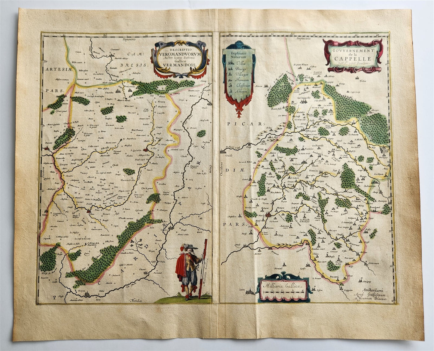
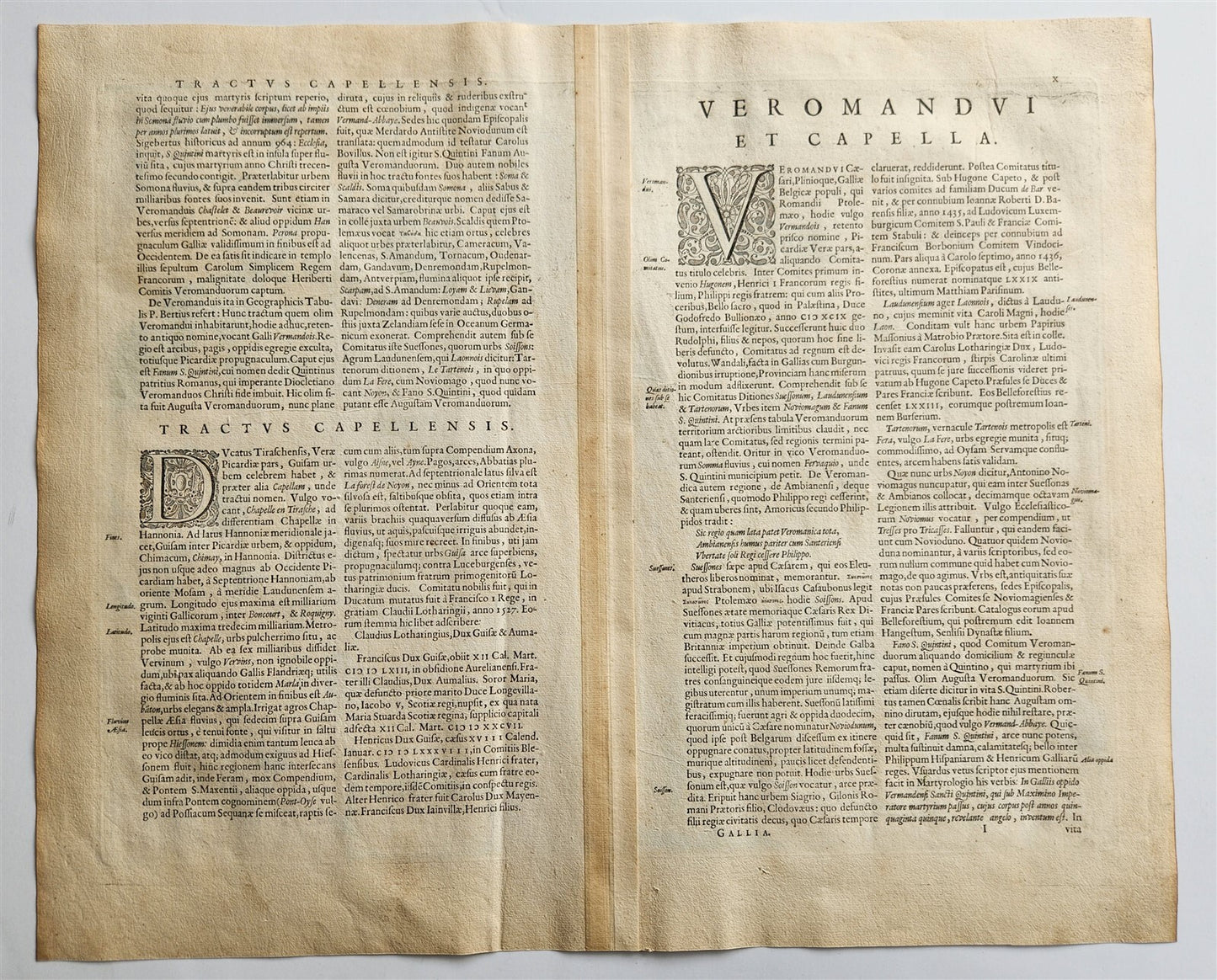
MAP DESCRIPTIO VEROMANDUORUM ; FRANCEAmsterdam: Willem Blaeu; 1640. (from : Theatrum orbis terrarum, sive Atlas novus)"Descriptio Veromanduorum" translates to "Description of the Vermandois" in Latin. Cartographic representation of the historical French province of Vermandois. The term is often used in conjunction with the phrase "Gouvernement de la Cappelle," indicating a map depicting the region and its administrative district.Hand coloredOverall 18.5 by 22.5 inchesVery good condition100% authentic=========================================Please see my other auctions Thank You
Refund Policy: We will issue a FULL REFUND, 100% money back if you are not satisfied with your purchase. Items must be returned to us within 20 days in order to receive a refund or replacement. Buyer is responsible for shipping costs.
-------------------------------------------------------------------------------------------------------------------------------------------------------------------------------------------------------------------------------------------------------------------------------------------------------------------------------------------------------------------------------------------------------------------------------------------------------------------------------------------------------------------------------------------------------------------------------------------------------------------------------------------------------------------------------------------------------------------------------------------------------------------------------------------------------------------------------------------------------------------------------------------------
MAP DESCRIPTIO VEROMANDUORUM ; FRANCEAmsterdam: Willem Blaeu; 1640. (from : Theatrum orbis terrarum, sive Atlas novus)"Descriptio Veromanduorum" translates to "Description of the Vermandois" in Latin. Cartographic representation of the historical French province of Vermandois. The term is often used in conjunction with the phrase "Gouvernement de la Cappelle," indicating a map depicting the region and its administrative district.Hand coloredOverall 18.5 by 22.5 inchesVery good condition100% authentic
------------------------------------------------------------------------------------------------------------------------------------------------------------------------------------------------------------------------------------------------------------------------------------------------------------------------------------------------------------------------------------------------------------------------------------------------------------------------------------------------------------------------------------------------------------------
MAP
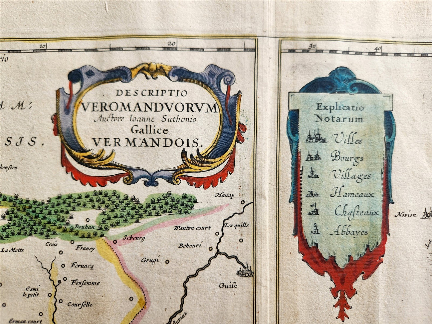
DESCRIPTIO VEROMANDUORUM ; FRANCE
Amsterdam: Willem Blaeu; 1640.
(from : Theatrum orbis terrarum, sive Atlas novus)
"Descriptio Veromanduorum" translates to "Description of the Vermandois" in Latin.
Cartographic representation of the historical French province of Vermandois.
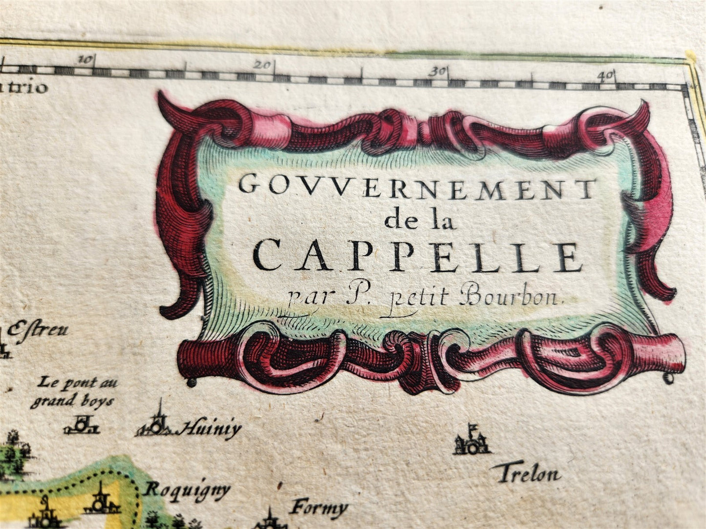
The term is often used in conjunction with the phrase "Gouvernement de la Cappelle," indicating a map depicting the region and its administrative district.
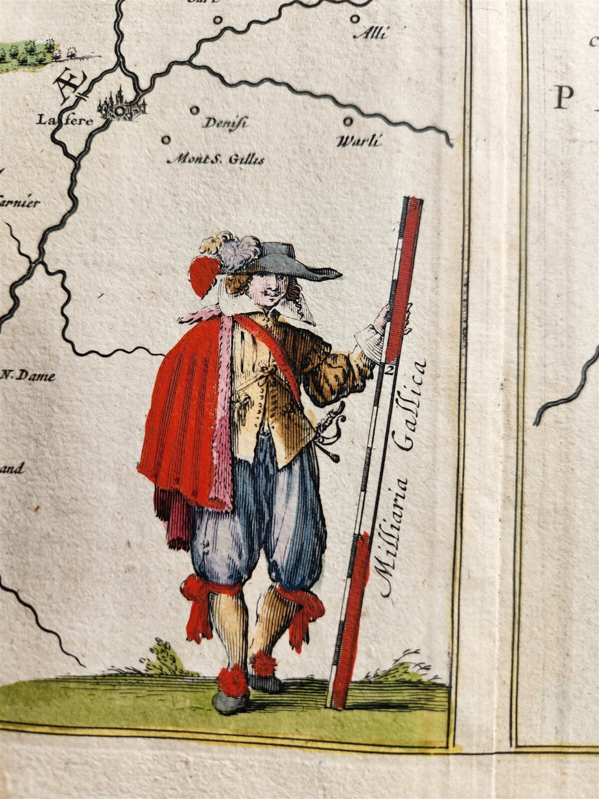
Hand colored
Overall 18.5 by 22.5 inches
Very good condition
100% authentic
=========================================
Please see my other auctions
Thank You
Refund Policy: We will issue a FULL REFUND, 100% money back if you are not satisfied with your purchase. Items must be returned to us within 20 days in order to receive a refund or replacement. Buyer is responsible for shipping costs.
Powered by SixBit's eCommerce Solution
View full details
- Country/Region:France
- Date Range:1600-1699
- Type:Topographical Map