Motka
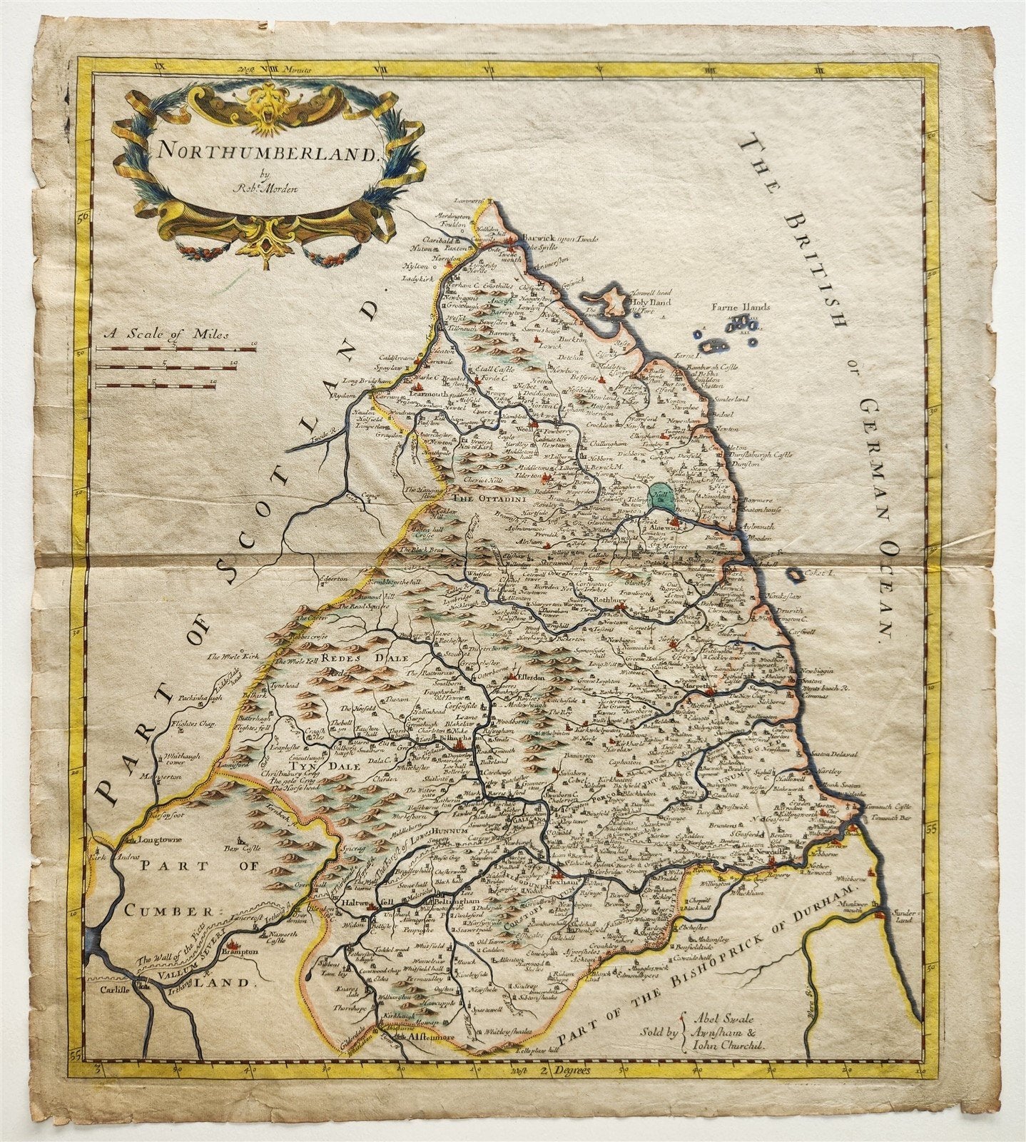
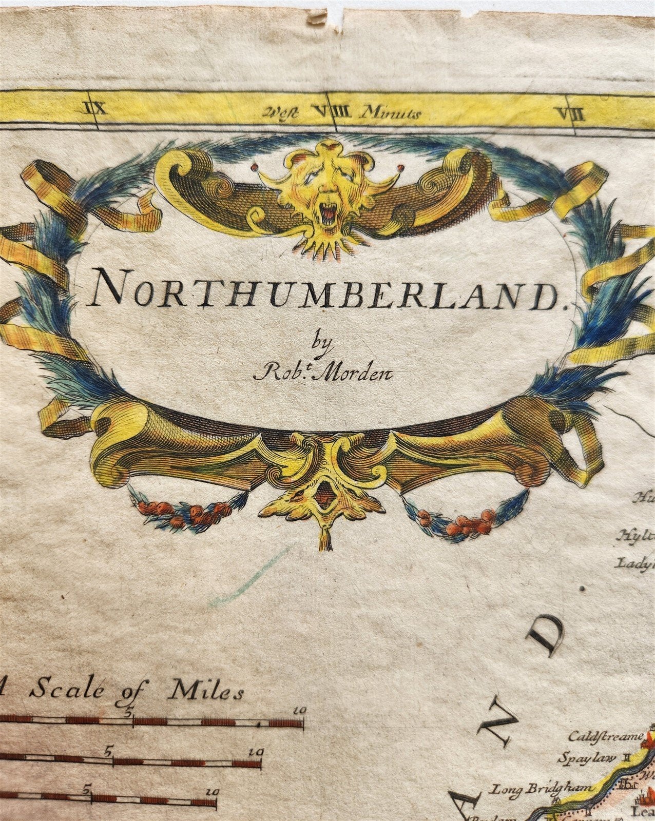
1700s MAP of NORTHUMBERLAND ENGLAND antique
1700s MAP of NORTHUMBERLAND ENGLAND antique
Regular price
$98.00 USD
Regular price
$140.00 USD
Sale price
$98.00 USD
Unit price
per
Couldn't load pickup availability
by Rob. Morden
London, c. early 1700s
Hand colored
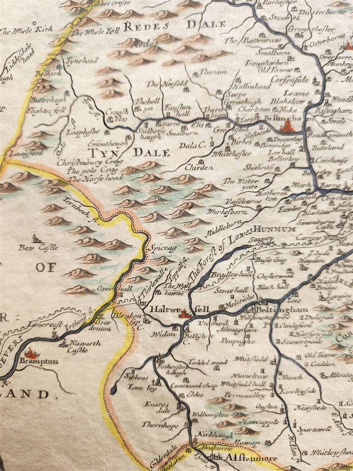
A map of Northumberland but also showing Cumberland in order to show the length of Hadrian's Wall from Newcastle to the Solway Firth. Marked with castellations, it is named 'The Wall of the Picts' and 'Vallum Severi', refering to Septimus Severus, who refortified the wall c.210, after the failure of the Antonine Wall further north.
The map was drawn up by Robert Morden illustrate Gibson s edition of William Camden s 'Britannia', first published in 1695.
Printed on very thin paper
Size 15 1/4 by 17 1/2 inches
Good condition, some wear, folds
===================================================