Motka
1720s MAP of GERMANY SWABIA by J.B.HOMANN antique AUTHENTIC hand colored
1720s MAP of GERMANY SWABIA by J.B.HOMANN antique AUTHENTIC hand colored
Regular price
$200.90 USD
Regular price
$287.00 USD
Sale price
$200.90 USD
Unit price
per
Couldn't load pickup availability
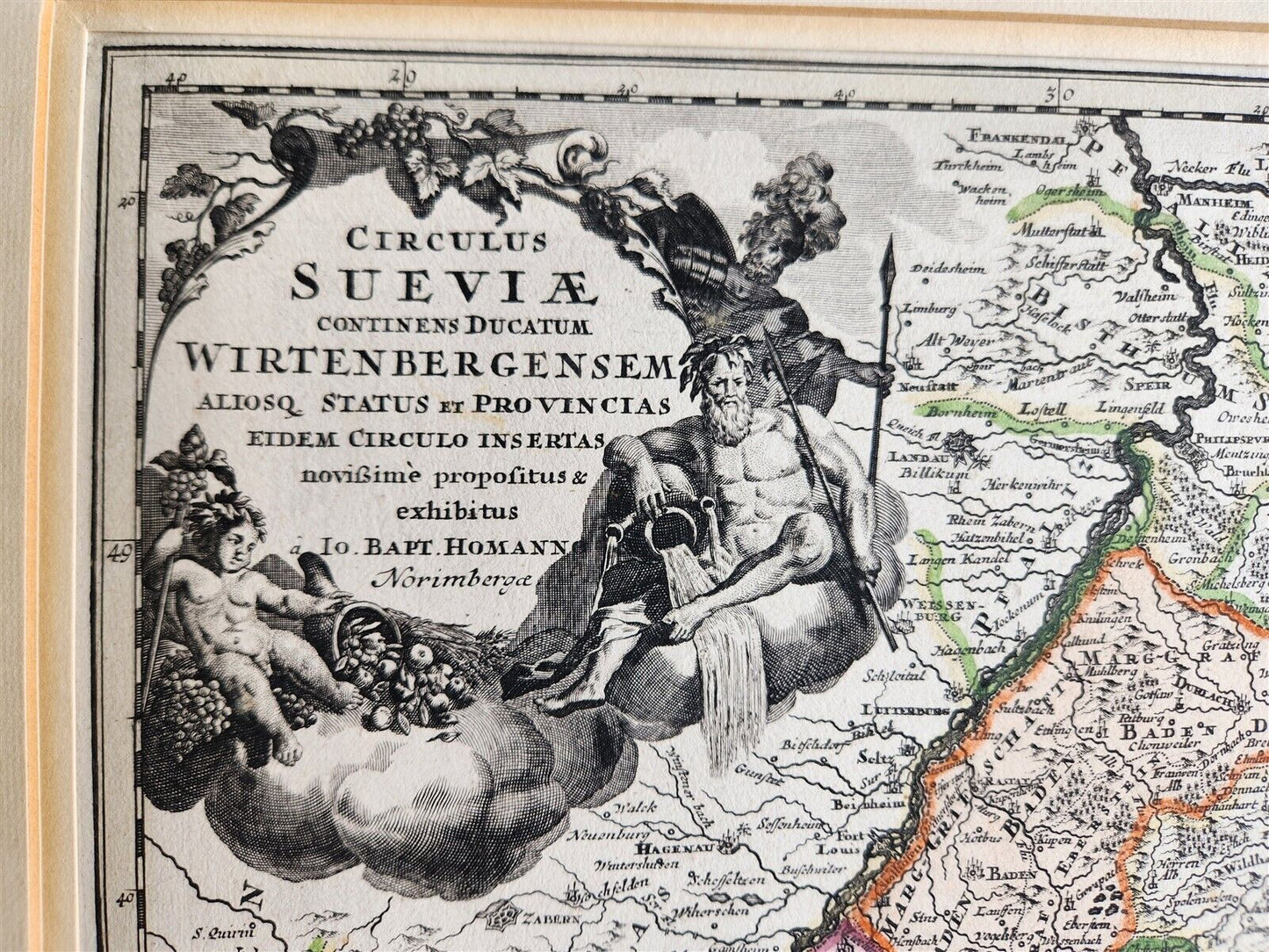
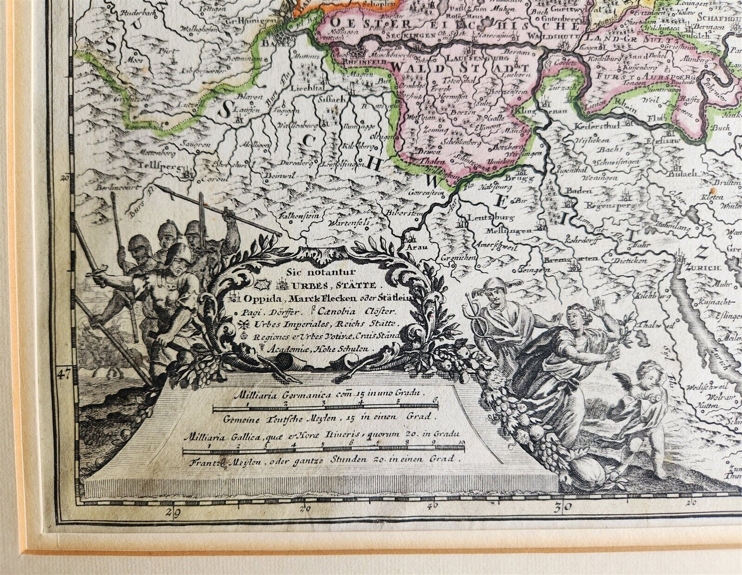
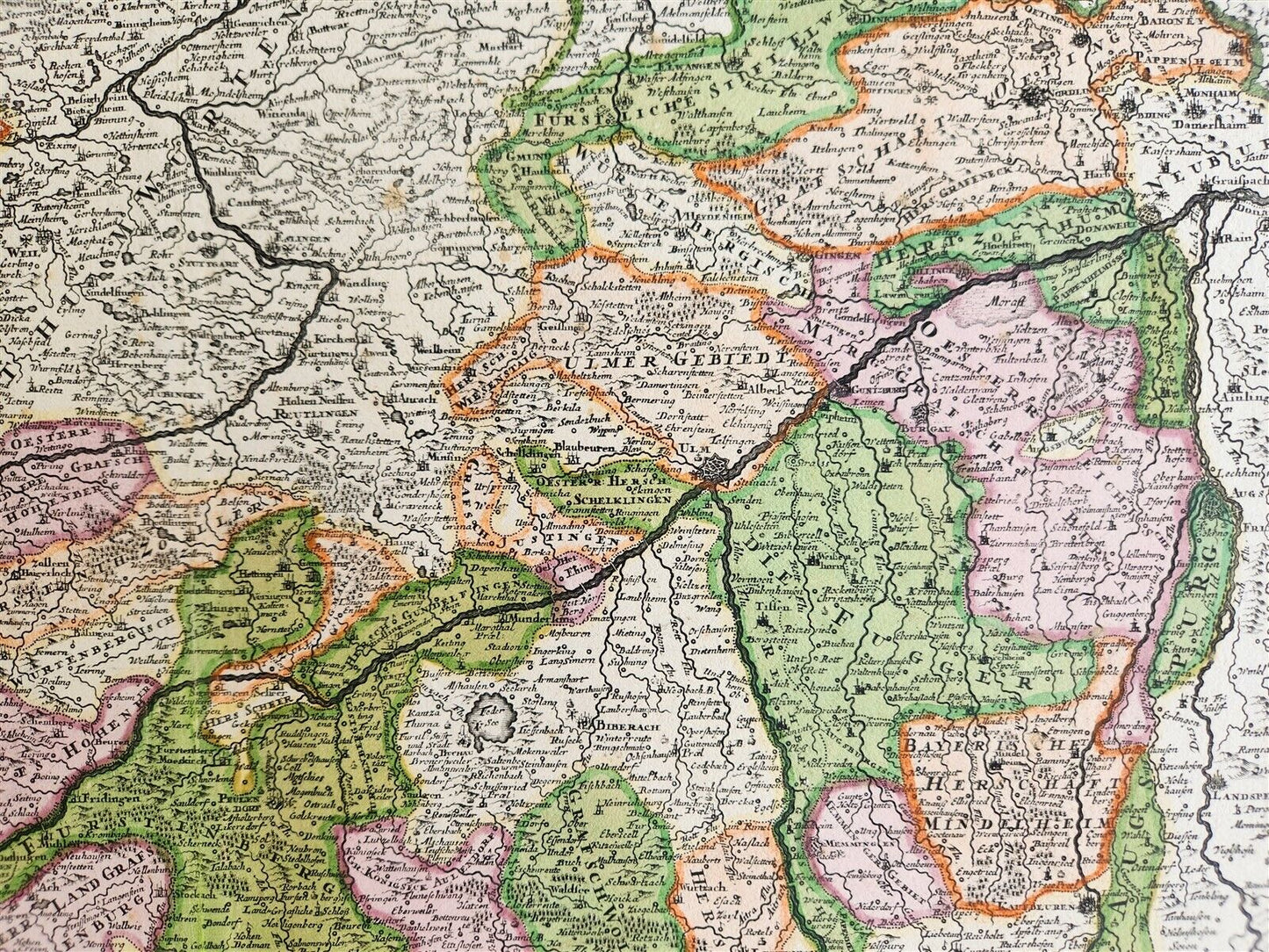
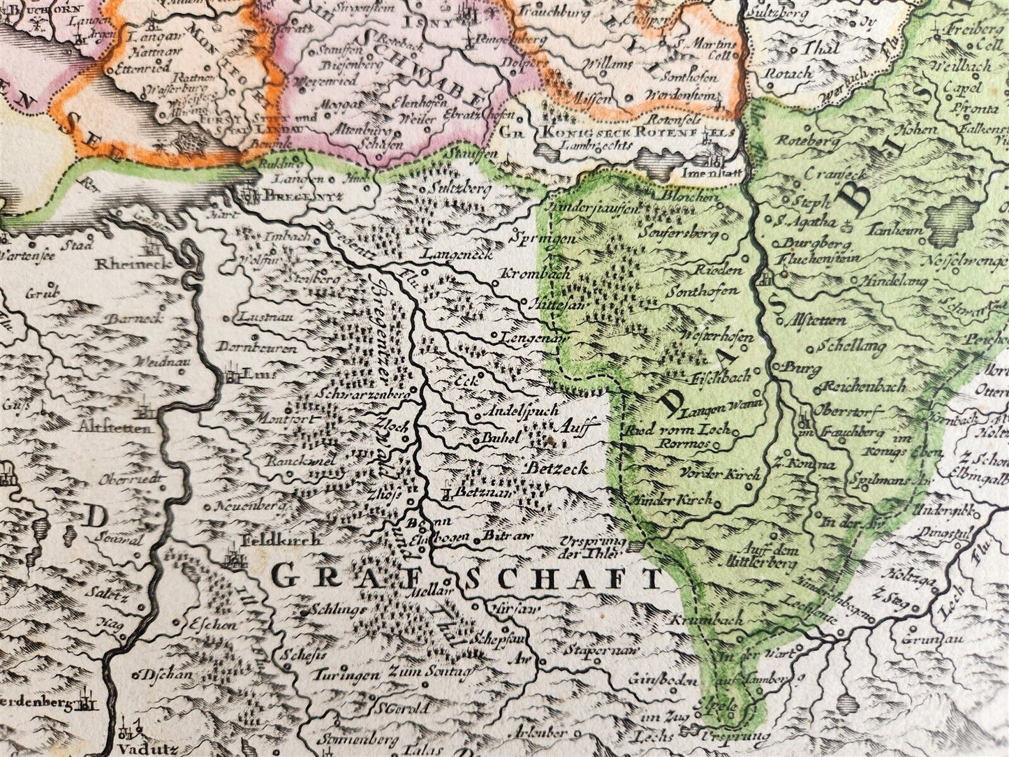
MAP CIRCULUS SUEVIAE ...Wirtembergensem Nuremberg: J.B. Homann, c. 1720sHand coloredSize 20 1/2 by 24 inchesVery good condition100% authentic=========================================Please see my other auctions Thank You
Refund Policy: We will issue a FULL REFUND, 100% money back if you are not satisfied with your purchase. Items must be returned to us within 20 days in order to receive a refund or replacement. Buyer is responsible for shipping costs.
-------------------------------------------------------------------------------------------------------------------------------------------------------------------------------------------------------------------------------------------------------------------------------------------------------------------------------------------------------------------------------------------------------------------------------------------------------------------------------------------
MAP CIRCULUS SUEVIAE ...Wirtembergensem Nuremberg: J.B. Homann, c. 1720sHand coloredSize 20 1/2 by 24 inchesVery good condition100% authentic
------------------------------------------------------------------------------------------------------------------------------------------------------------
MAP
CIRCULUS SUEVIAE ...
Wirtembergensem
Nuremberg: J.B. Homann, c. 1720s
Hand colored
Size 20 1/2 by 24 inches
Very good condition
100% authentic
=========================================
Please see my other auctions
Thank You
Refund Policy: We will issue a FULL REFUND, 100% money back if you are not satisfied with your purchase. Items must be returned to us within 20 days in order to receive a refund or replacement. Buyer is responsible for shipping costs.
Powered by SixBit's eCommerce Solution
View full details
- Country/Region:Germany
- Date Range:1700-1799
- Type:Topographical Map