Motka
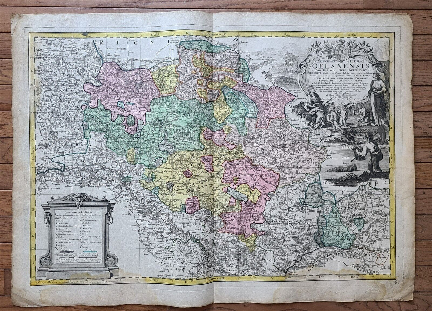
1739 LARGE MAP OF SILESIA POLAND OELSNENSIS antique 25 by 34 3/4"
1739 LARGE MAP OF SILESIA POLAND OELSNENSIS antique 25 by 34 3/4"
Regular price
$349.30 USD
Regular price
$499.00 USD
Sale price
$349.30 USD
Unit price
per
Couldn't load pickup availability
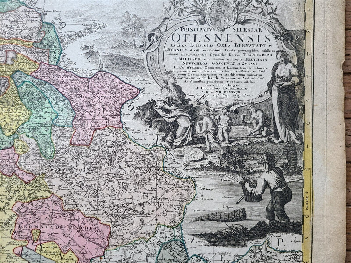
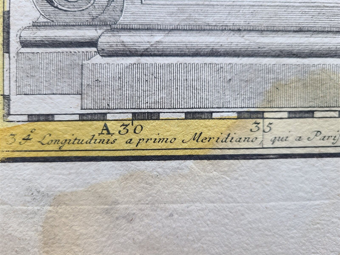
Principatus Silesiae Oelsnensis in suos Districtus Oels Bernstadt et Trebnitz divisi exactissima Tabula geographica, exhibens insimul. . .
by HOMANN HEIRS
Nuremberg, 1739
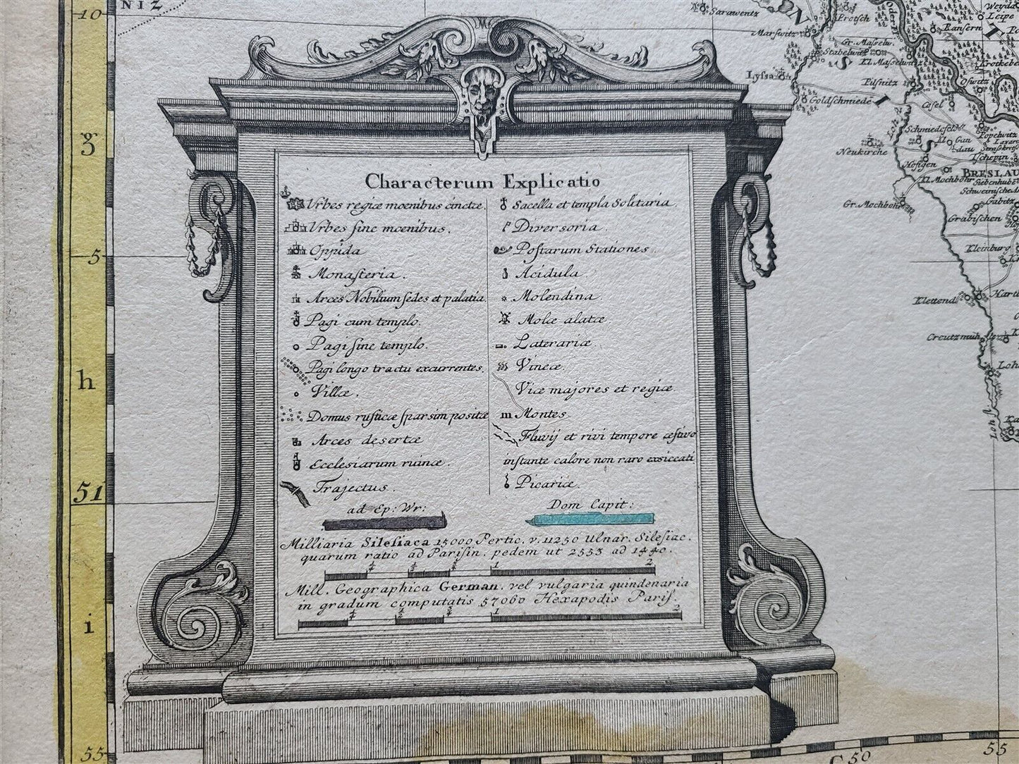
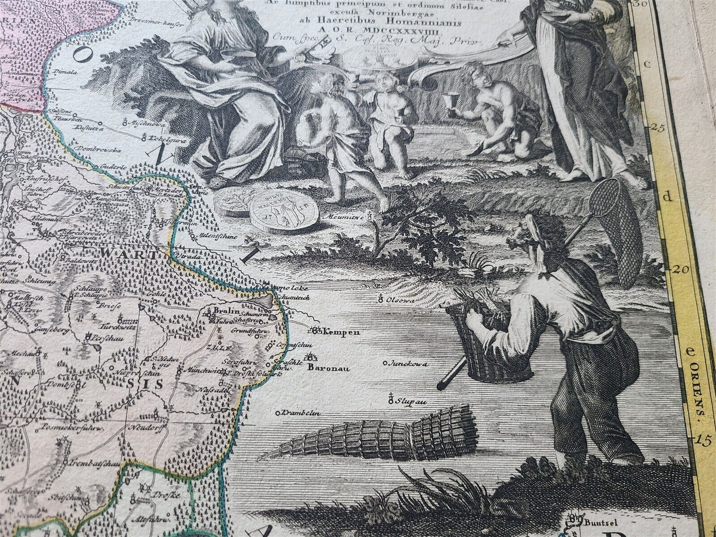
Detailed map centered on Rawitsch, Freyhan, Adelnau, Mittelwalde, Gr.Wartenberg, Kempen, Pitschen, Kreuzberg in Oberschlesien, Ohlau and Breslau.
The land survey was done by J. W. Wieland, and corrected by M. v. Schubarth.
With a large very attractive cartouche in the upper left corner.
From "The Atlas Silesiae"(large scale atlas of Silesia, Poland)
During the reign of Karl VI (1711 – 1740) the measuring of Silesia was started by the engineer lieutenant Johann Wolfgang Wieland (died 1736) who finished his task in 1732.
Size (total) 25 by 34 3/4"
Some wear, dampstains, no repairs
===================================================
Please see my other auctions
Thank You
Refund Policy: We will issue a FULL REFUND, 100% money back if you are not satisfied with your purchase. Items must be returned to us within 20 days in order to receive a refund or replacement. Buyer is responsible for shipping costs.
Listed with ExportYourStore.com
