Motka
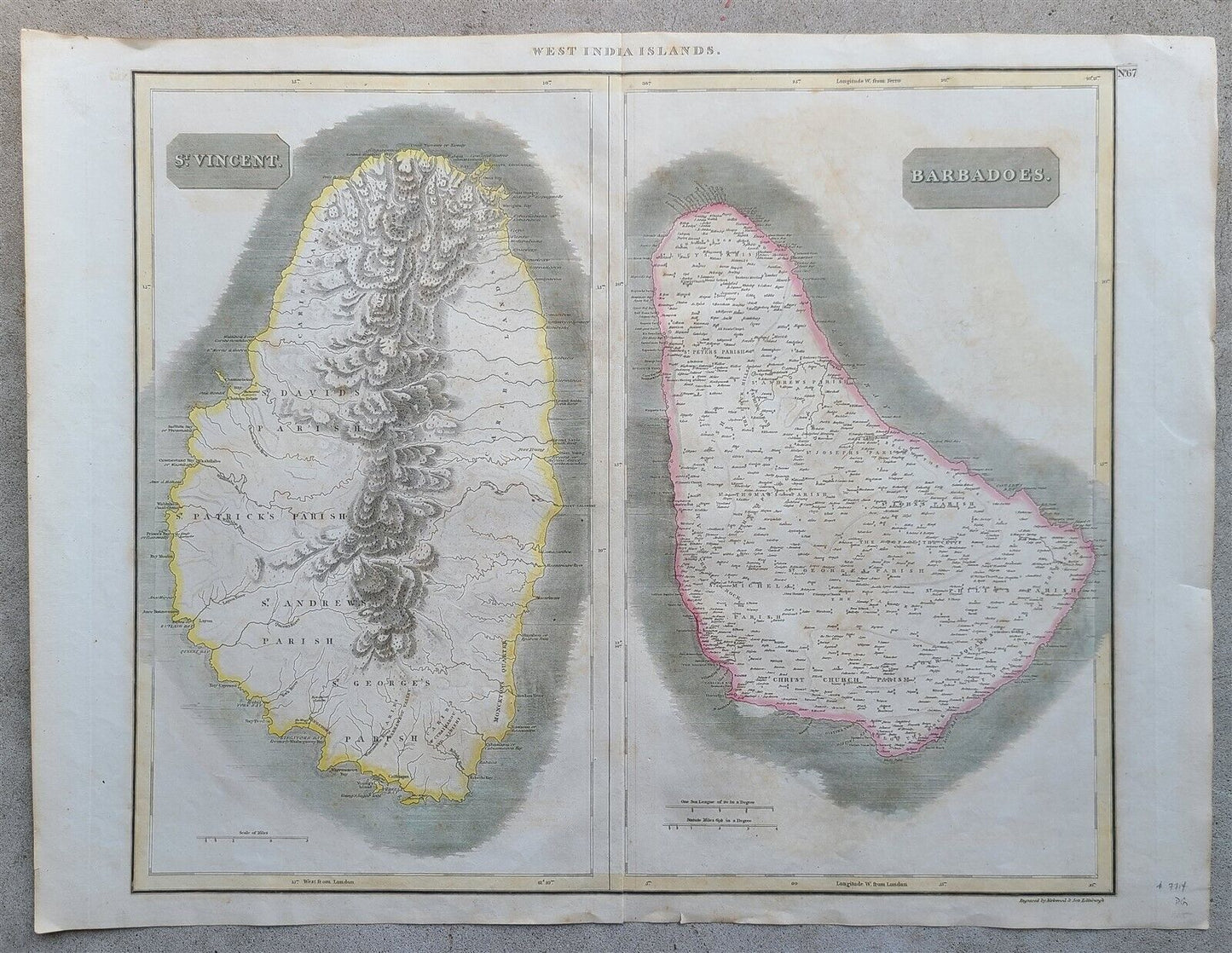
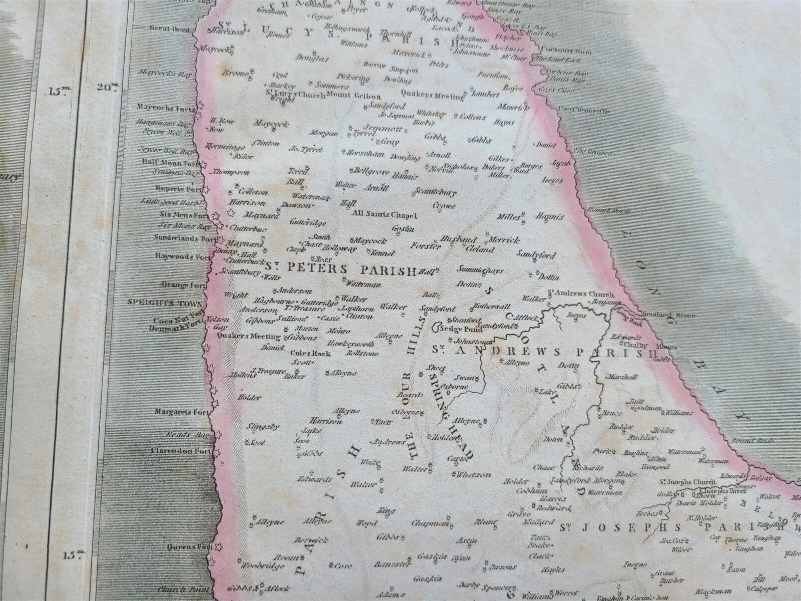
1814 MAP of WEST INDIA ISLANDS Carribean ST. VINCENT & BARBADOS antique 21 x 28"
1814 MAP of WEST INDIA ISLANDS Carribean ST. VINCENT & BARBADOS antique 21 x 28"
Regular price
$200.90 USD
Regular price
$287.00 USD
Sale price
$200.90 USD
Unit price
per
Couldn't load pickup availability
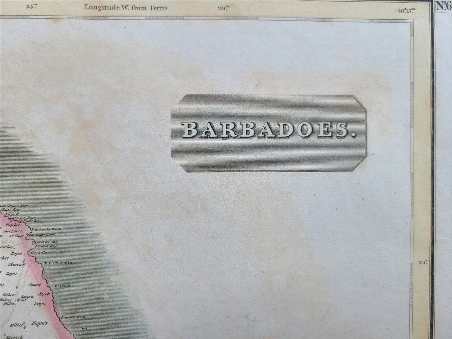
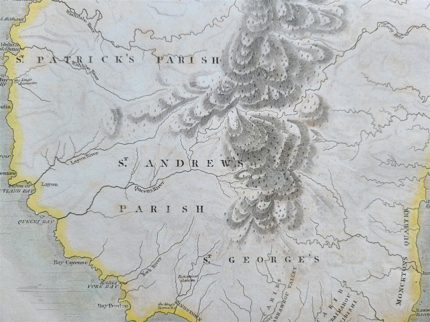
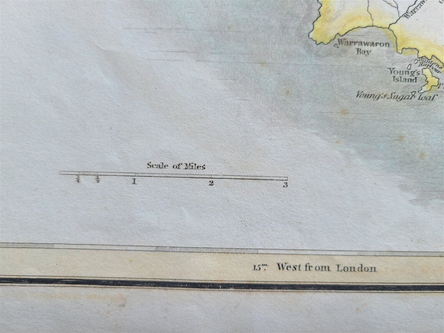
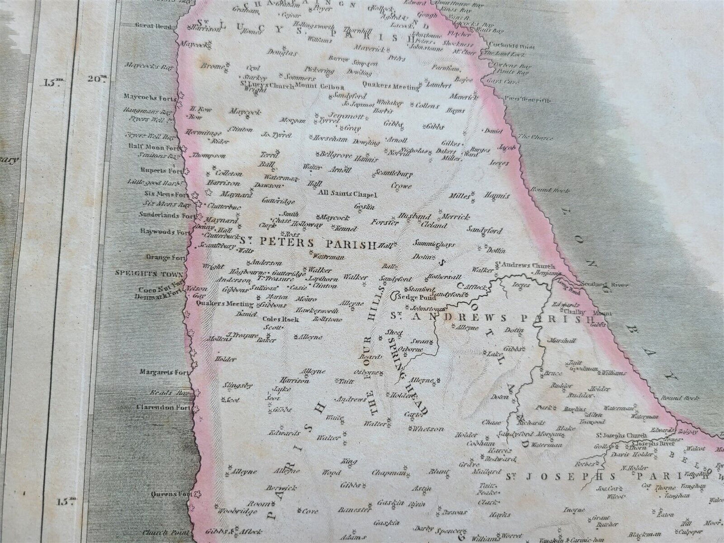
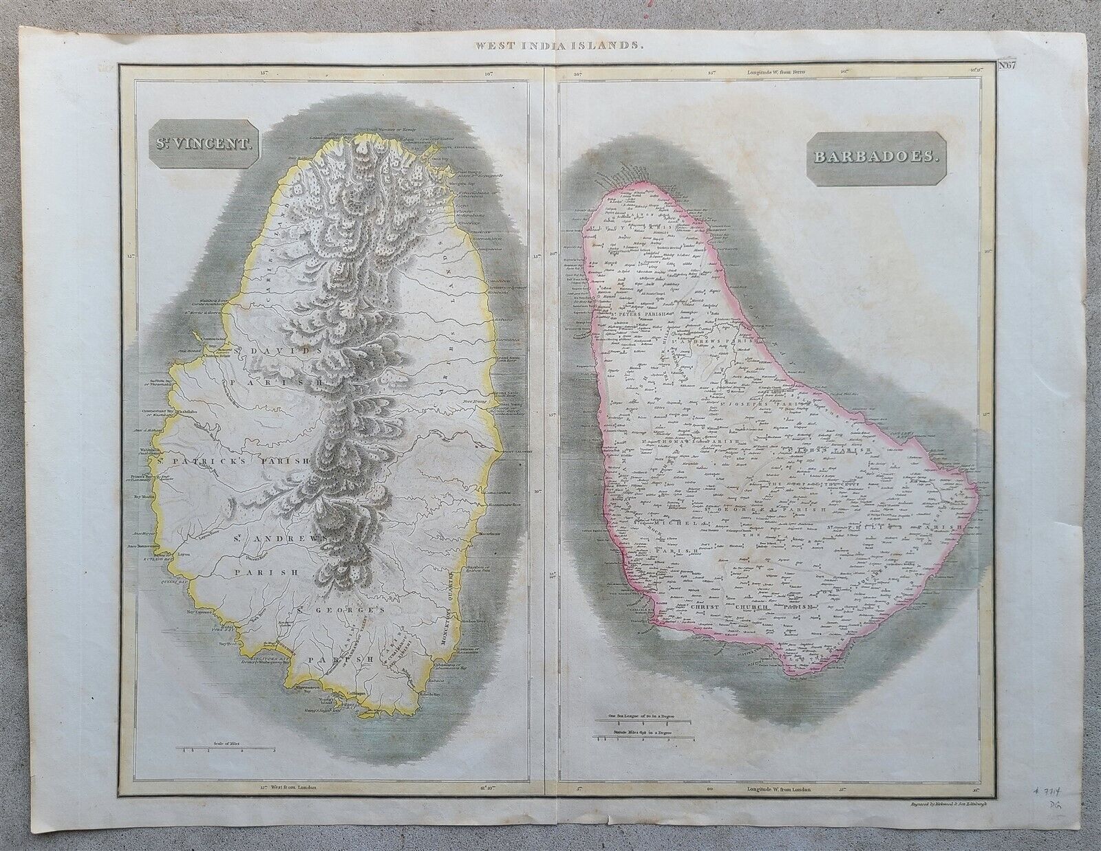
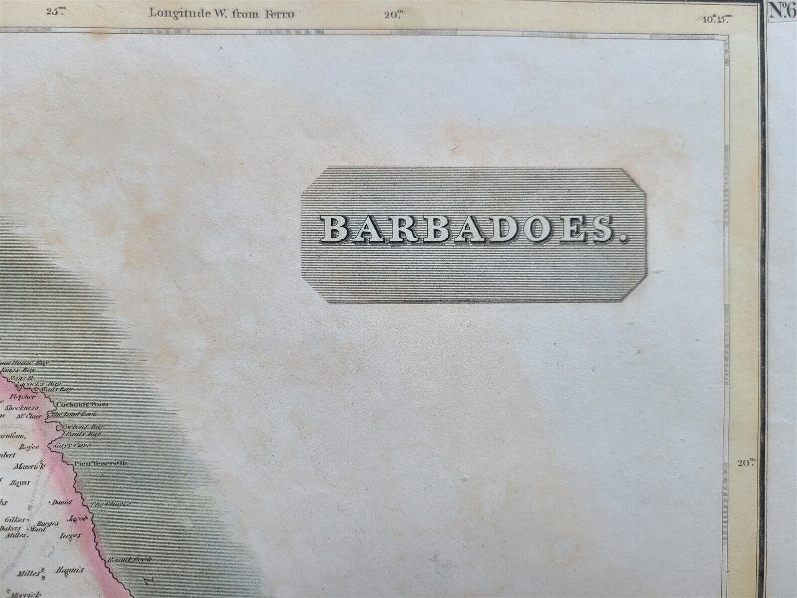
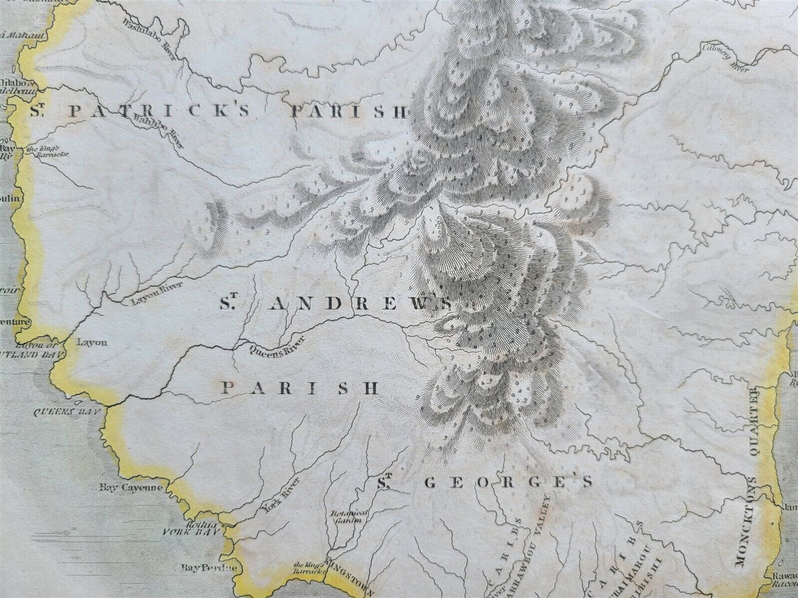
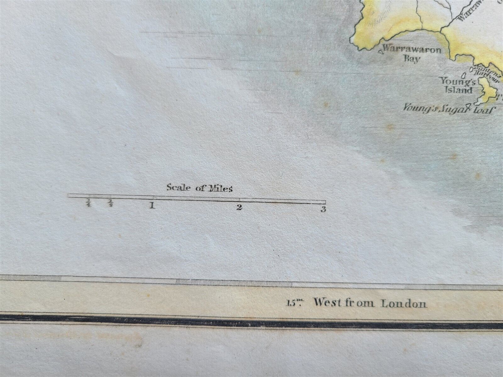
West India Islands.St. Vincent. - Barbadoes. engraved in 1814 in Edinburgh by Kirkwood and Sons for Thomson's New General Atlas.Size 21 x 28 in (including margins)This is John Thomson's 1814 map of Barbados and St. Vincent, both part of the Lesser Antilles volcanic arc, West Indies. It illustrates the final days of slavery on both islands, and coincides with a period marked by internal strife, social upheaval, economic decline, and rebellion.Very good condition=================
--------------------------------------------------------------------------------------------------------------------------------------------------------------------------------------------------------------------------------------------------------------------------------------------------------------------------------------------------------------------------------------------------------------------------------------------------------------------------------------------------------------------------
West India Islands.St. Vincent. - Barbadoes. engraved in 1814 in Edinburgh by Kirkwood and Sons for Thomson's New General Atlas.Size 21 x 28 in (including margins)This is John Thomson's 1814 map of Barbados and St. Vincent, both part of the Lesser Antilles volcanic arc, West Indies. It illustrates the final days of slavery on both islands, and coincides with a period marked by internal strife, social upheaval, economic decline, and rebellion.Very good condition=================
-------------------------------------------------------------------------------------------------------------------------------------------------------------------------------------------------------------------------------------------------------------------------------------------------------------------------------------------------------------------------------------------------------------------------------------------------------------------------------------------------------------------------
West India Islands.
St. Vincent. - Barbadoes.
engraved in 1814 in Edinburgh by Kirkwood and Sons
for Thomson's New General Atlas.
Size 21 x 28 in (including margins)
This is John Thomson's 1814 map of Barbados and St. Vincent, both part of the Lesser Antilles volcanic arc, West Indies.
It illustrates the final days of slavery on both islands, and coincides with a period marked by internal strife, social upheaval, economic decline, and rebellion.
Very good condition
=================
Refund Policy: We will issue a FULL REFUND, 100% money back if you are not satisfied with your purchase. Items must be returned to us within 20 days in order to receive a refund or replacement. Buyer is responsible for the shipping costs.
Powered by SixBit's eCommerce Solution
View full details
- Country/Region:Barbados
- Date Range:1800-1899
- Format:Atlas Map
- Original/Reproduction:Antique Original
- Type:Physical Map
